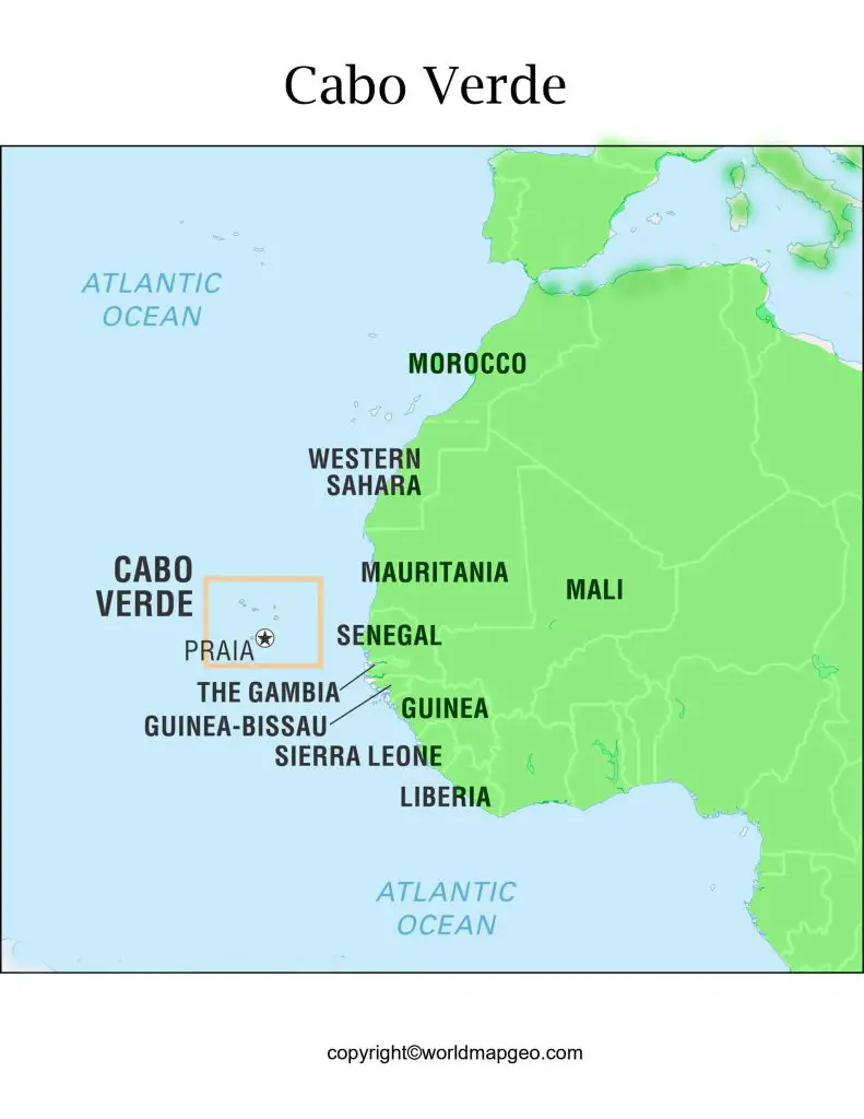
Labeled Cabo Verde Map – Cabo Verde, also known as Cape Verde, is a small island nation located in the Atlantic Ocean, off the coast of Western Africa. The country is made up of ten main islands and several islets, making it a popular tourist destination for its beautiful beaches, vibrant culture, and rich history.
Labeled Cabo Verde Map
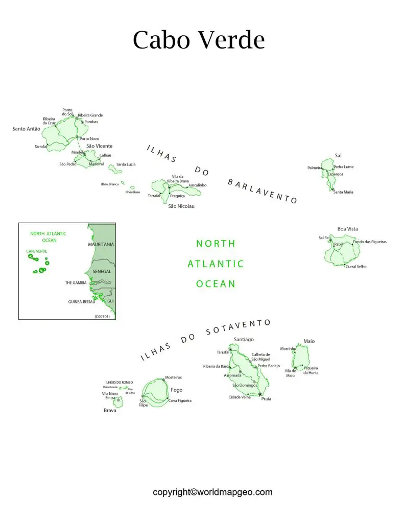
Cabo Verde, also known as Cape Verde, is an island nation located off the west coast of Africa. The country consists of 10 islands and 5 islets, each with its own unique geography and culture. The capital city of Cabo Verde is Praia, located on the island of Santiago. Other notable cities in the country include Mindelo, on the island of São Vicente, and Santa Maria, located on the island of Sal. Cabo Verde has a diverse landscape ranging from dry deserts to lush green mountains and is known for its stunning beaches and clear waters. Despite its small size, Cabo Verde has a rich cultural heritage and a thriving tourism industry, making it an important destination for visitors to West Africa.
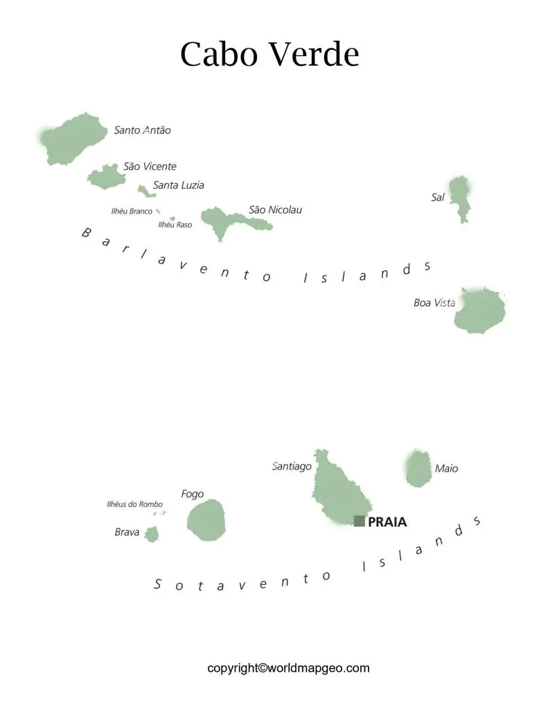
Labeled Cabo Verde Map With Capital
The capital of Cabo Verde is Praia, located on the southern coast of the island of Santiago. Praia is the largest city in Cabo Verde and serves as a major hub for government, commerce, and transportation. The city boasts a mix of modern and colonial architecture, beautiful beaches, and a vibrant cultural scene. Overall, the map of Cabo Verde is dotted with a number of picturesque island cities, including Mindelo, Assomada, and Santa Maria, each offering unique sights and experiences for visitors.
Santiago is the largest and most populous island in Cabo Verde, with the capital city of Praia located on its southern coast. Praia is the economic, cultural, and political centre of Cabo Verde and is home to a range of cultural attractions, including the National Museum, the Ethnographic Museum, and the Nossa Senhora da Graça Church.
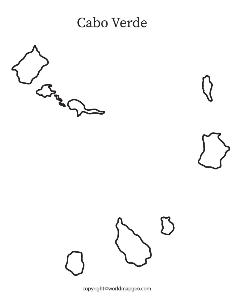
Cabo Verde Map With States Labeled
The country consists of ten islands, but only nine of them are inhabited. The main island of the country, Santiago, serves as the capital city, Praia. The other eight inhabited islands are Boa Vista, Fogo, Maio, Sal, Santo Antão, São Nicolau, São Vicente, and Brava. Each of these islands has its own unique geography, history, and culture, making Cabo Verde a diverse and fascinating place to explore.
The island of Fogo, located in the Sotavento group, is home to the Pico do Fogo, an active volcano that last erupted in 2014. The city of São Filipe, located on the western coast of the island, is known for its colonial architecture and rich cultural heritage.
In addition to the main islands, Cabo Verde also includes a number of smaller islets, such as the uninhabited Santa Luzia and the nature reserve of Ilhéu de Raso. These smaller islands offer unique opportunities for wildlife viewing and outdoor exploration.
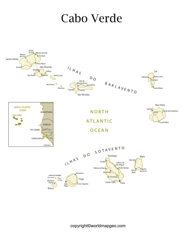
Cabo Verde Map With Cities Labeled
The Cabo Verde (Cape Verde) map showcases the archipelago nation located in the central Atlantic Ocean. The cities labeled on the map include the capital city of Praia, as well as other significant cities like Mindelo, Assomada, and Santa Maria. These cities offer a unique blend of Portuguese and African cultures, with colonial architecture and vibrant street life. From the bustling streets of Praia to the charming fishing villages of Santa Maria, each city has its own charm and character. Whether it’s the stunning beaches, the lush mountain landscapes, or the lively cultural scenes, Cabo Verde has something to offer everyone.
Conclusion: Despite its small size, Cabo Verde has a lot to offer, from its stunning natural beauty to its rich cultural heritage. With a growing economy and a vibrant tourism industry, Cabo Verde is an important player in the region and continues to develop and grow in many areas. Whether you’re a history buff, an adventure seeker, or just looking for a tropical escape, Cabo Verde is definitely worth exploring!
