A printable world map is one of the most useful educational and reference tools for students, teachers, travelers, researchers, and geography enthusiasts. Whether you’re learning about continents, identifying countries, planning international trips, or teaching geography in a classroom, a printable map of the world provides a simple and effective way to visualize our planet.
Unlike digital maps that require an internet connection or interactive software, printable world maps can be downloaded, printed, and used anytime. They are perfect for classrooms, homeschooling, travel planning, office presentations, quizzes, educational activities, and personal reference.
Today, printable world maps are available in multiple formats, including PDF, PNG, JPG, SVG, and other high-resolution file types. Users can choose from blank maps, political maps, physical maps, outline maps, labeled maps, and thematic maps based on their needs.
Related Post –
- Blank Map of Dominican Republic
- Blank Map of Ecuador
- Blank Map of Egypt
- Blank Map of El Salvador
- Blank Map of Equatorial guinea
What Is a Printable World Map?
A printable world map is a downloadable map that displays the Earth’s continents, countries, oceans, islands, and geographical features in a format suitable for printing. These maps are designed to be easy to print on standard paper sizes such as A4, Letter, Legal, or A3.
Depending on the version, a printable map may include:
- Country borders
- Country names
- National capitals
- Continents
- Oceans
- Major rivers
- Mountain ranges
- Latitude and longitude lines
- Time zones
- Political boundaries
- Physical landforms
Printable world maps are commonly used in:
- Schools
- Colleges
- Universities
- Libraries
- Offices
- Homeschool programs
- Travel agencies
- Research institutions
- Educational websites
Because they are available in various styles and levels of detail, users can select the version that best suits their learning or professional needs.
Why Use a Printable World Map?
Despite the popularity of online maps, printable maps remain highly valuable because they are portable, easy to annotate, and ideal for offline use.
Some of the most common reasons people use printable world maps include:
- Learning world geography
- Teaching students about continents and countries
- Preparing for geography exams
- Planning international travel
- Tracking visited countries
- Completing school assignments
- Conducting classroom quizzes
- Decorating classrooms
- Creating educational posters
- Understanding global locations
Printable maps are also excellent for children because they encourage hands-on learning through coloring, labeling, and map-based activities.
Benefits of Using a Printable World Map
A printable world map offers several advantages over digital-only maps.
- Easy to Print – Most printable maps are available in PDF format, allowing users to print them quickly without needing specialized software.
- Offline Access – Printed maps can be used anywhere without an internet connection, making them ideal for classrooms, field trips, or travel.
- Educational Value – Students can write notes, color regions, mark capitals, and complete geography exercises directly on the map.
- Better Visual Learning – Many learners understand geographic relationships more effectively through printed visuals than through scrolling on a screen.
- Suitable for All Age Groups – From elementary school students to university researchers, printable world maps cater to a wide range of educational needs.
Multiple Uses
They can be used for:
- Geography lessons
- Travel planning
- Business presentations
- Educational games
- Research
- Wall displays
- Exam preparation
Different Types of Printable World Maps
There are several types of printable world maps, each serving a specific purpose. Understanding these variations will help you choose the right map for your needs.
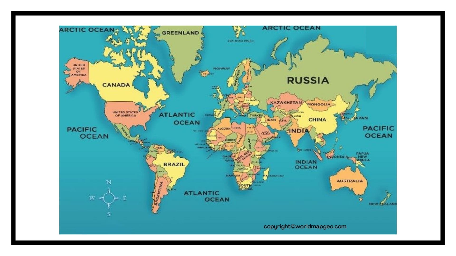
Printable Political World Map
A printable political world map focuses on human-created boundaries rather than natural landforms.
It typically displays:
- Countries
- International borders
- States or provinces (where applicable)
- Capitals
- Major cities
- Country names
Political maps are among the most commonly used maps in schools because they help students identify nations and understand global political geography.
Best For
- Geography classes
- School assignments
- Country identification
- Government studies
- Current affairs
- International relations
Advantages
- Easy to identify countries
- Clearly marked borders
- Educational and informative
- Suitable for classroom teaching
Printable Physical World Map
A printable physical world map highlights the Earth’s natural features rather than political divisions.
These maps usually include:
- Mountains
- Rivers
- Lakes
- Deserts
- Plateaus
- Oceans
- Seas
- Forests
- Elevation differences
Physical maps help users understand the Earth’s terrain and natural geography.
Best For
- Environmental studies
- Earth science
- Geography education
- Nature research
- Physical geography lessons
Advantages
- Shows natural landscapes
- Excellent for environmental education
- Helps explain Earth’s physical features
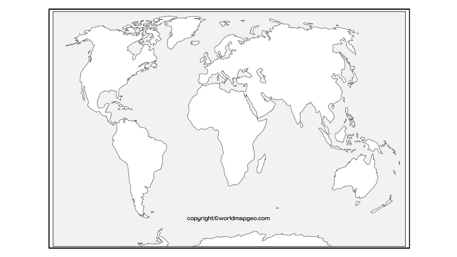
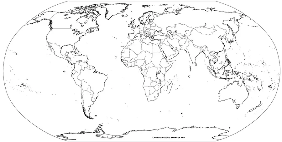
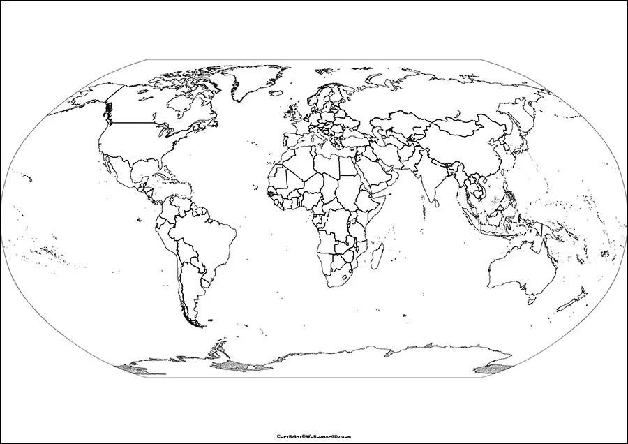
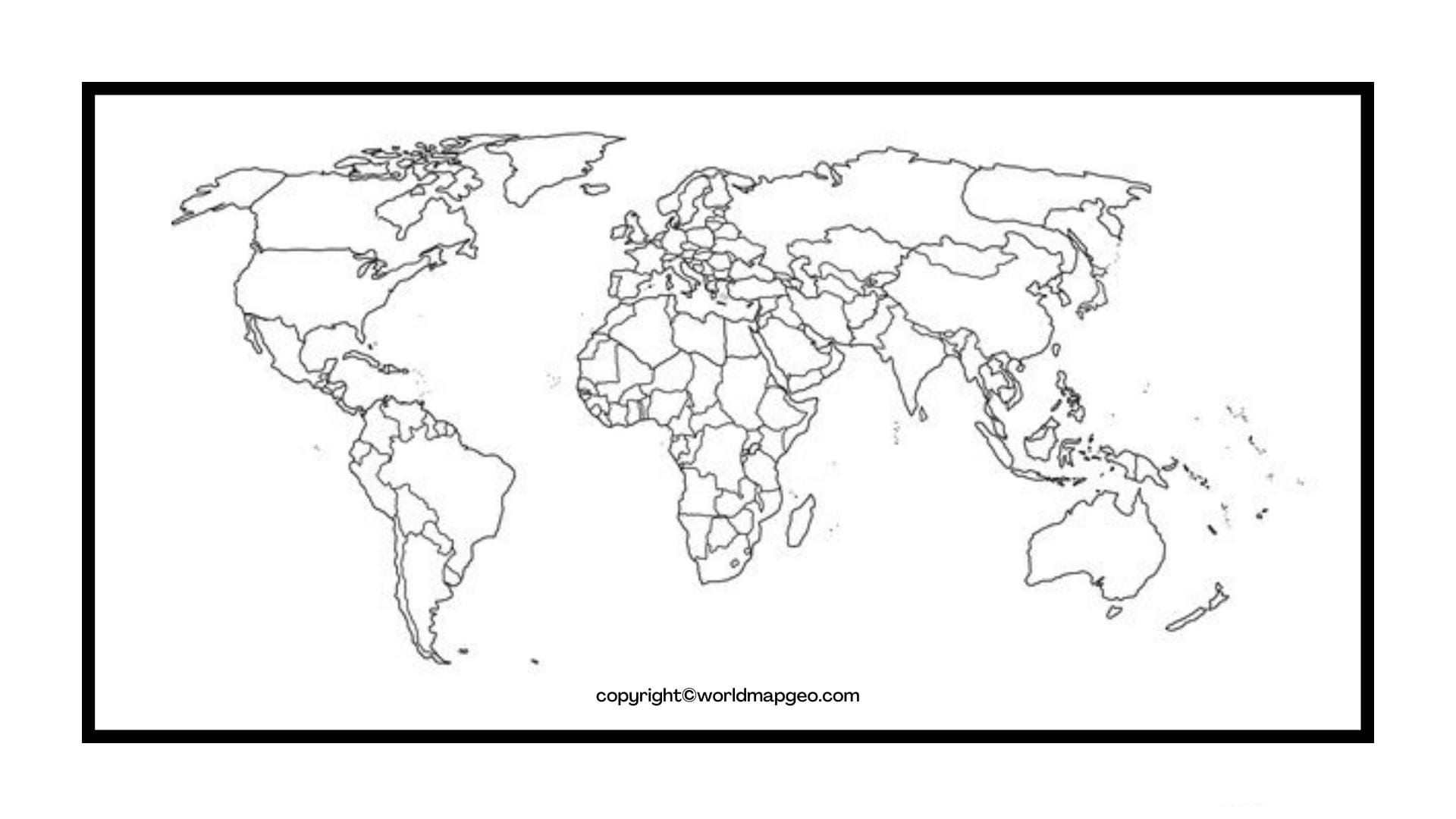
Printable Blank World Map
A blank printable world map removes labels, making it ideal for educational exercises and testing geographic knowledge.
Students can use blank maps to:
- Label countries
- Identify continents
- Mark capitals
- Draw boundaries
- Color different regions
- Complete geography assignments
Teachers frequently use blank maps for classroom quizzes because they encourage active learning.
Best For
- Geography practice
- Classroom activities
- Homeschool education
- Competitive exam preparation
- Interactive learning
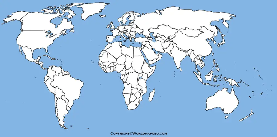
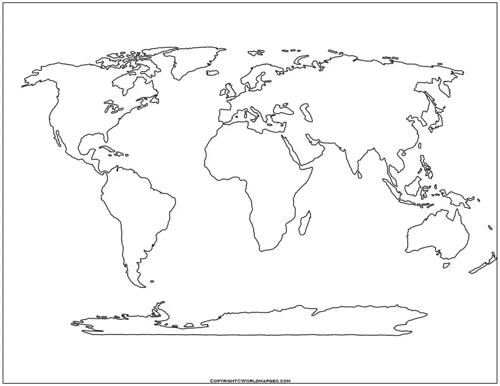
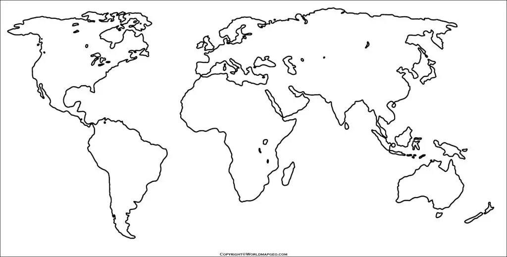
Printable Outline World Map
An outline map displays only the outer boundaries of countries and continents with minimal additional information.
Outline maps are perfect for:
- Coloring activities
- Labeling exercises
- Educational worksheets
- Art projects
- Geography competitions
Many teachers prefer outline maps because students must identify locations independently.
Advantages
- Simple design
- Easy to print
- Encourages learning
- Suitable for all age groups
Printable Labeled World Map
A labeled world map includes the names of countries, continents, oceans, and sometimes major cities.
Depending on the version, labels may include:
- Countries
- Capitals
- Oceans
- Continents
- Mountain ranges
- Rivers
- Islands
These maps are ideal for beginners who are learning world geography.
Best For
- Primary education
- Middle school
- Classroom reference
- Self-study
- Travel planning
Printable World Map with Countries
One of the most searched map formats is the world map with countries.
These maps display:
- Every recognized country
- Country borders
- Country names
- Neighboring nations
- Geographic locations
They are commonly used in schools, universities, offices, and businesses.
Popular Uses
- Country identification
- International business
- Educational reference
- Geography homework
- Travel planning
Printable Map of World with Capitals
A world map with capitals includes each country’s capital city alongside its name.
For example:
| Country | Capital |
|---|---|
| United States | Washington, D.C. |
| Canada | Ottawa |
| United Kingdom | London |
| India | New Delhi |
| Australia | Canberra |
| Japan | Tokyo |
| France | Paris |
| Brazil | Brasília |
Students preparing for geography exams often use these maps to memorize world capitals more efficiently.
Printable World Map with Continents
A continent map emphasizes the seven major continents:
- Asia
- Africa
- Europe
- North America
- South America
- Australia (Oceania)
- Antarctica
This type of map is especially useful for younger students beginning to learn global geography.
Teachers often use continent maps to explain:
- Continental boundaries
- Population distribution
- Climate differences
- Wildlife habitats
- Cultural diversity
Printable World Map with Oceans
Oceans cover approximately 71% of the Earth’s surface, making them an essential part of geography education.
Most printable ocean maps identify the five major oceans:
| Ocean | Location |
|---|---|
| Pacific Ocean | Between Asia, Australia, and the Americas |
| Atlantic Ocean | Between Europe, Africa, and the Americas |
| Indian Ocean | Between Africa, Asia, and Australia |
| Arctic Ocean | Around the North Pole |
| Southern Ocean | Surrounding Antarctica |
Ocean maps help students understand marine geography, global trade routes, and Earth’s climate systems.
Common Printable World Map File Formats
Different file formats are available depending on how you plan to use the map.
| Format | Best For |
|---|---|
| High-quality printing | |
| PNG | Educational worksheets |
| JPG | Quick downloads and presentations |
| SVG | Scalable graphic design and editing |
| EPS | Professional printing |
| DOC/PPT | Classroom presentations and educational materials |
Among these, PDF remains the most popular because it preserves quality and is compatible with almost all devices.
How to Choose the Right Printable World Map
Selecting the right map depends on your purpose.
| Need | Recommended Map |
|---|---|
| Geography Study | Political World Map |
| Earth Science | Physical World Map |
| Classroom Quiz | Blank World Map |
| Coloring Activity | Outline World Map |
| Travel Planning | Labeled World Map |
| Learning Capitals | World Map with Capitals |
| Teaching Continents | Continents Map |
| Marine Geography | World Map with Oceans |
Choosing the appropriate format ensures a better learning experience and helps users achieve their educational or professional goals.
Printable Map of World PDF
A Printable World Map PDF is one of the most popular formats because it maintains excellent print quality while being compatible with almost every computer, tablet, and smartphone. PDF files preserve the map’s layout, labels, and details, ensuring that the printed version looks exactly as intended.
Whether you’re printing a map for a geography lesson, office presentation, or travel planning, PDF maps provide crisp text and clear boundaries.
Benefits of a Printable World Map PDF
- High-resolution printing
- Easy to download and store
- Compatible with Windows, macOS, Android, and iOS
- Suitable for A4, Letter, Legal, and A3 paper sizes
- Ideal for classrooms and educational institutions
- Can be printed multiple times without losing quality
Many teachers prefer PDF maps because they can distribute the same file to an entire classroom without formatting issues.
Printable World Map for Kids
Introducing geography at an early age helps children develop a better understanding of the world around them. A Printable World Map for Kids is designed with simple layouts, larger labels, and colorful illustrations to make learning fun and engaging.
Kid-friendly maps often include:
- Clearly marked continents
- Easy-to-read country names
- Major oceans
- Popular landmarks
- Animals associated with different regions
- Bright colors and icons
Educational Benefits
Using printable maps encourages children to:
- Recognize continents
- Learn country names
- Understand directions
- Improve memory
- Develop map-reading skills
- Build curiosity about different cultures
Parents and teachers can also use map-based games, quizzes, and coloring activities to make geography lessons more interactive.
Printable World Map for Classroom
A Printable World Map for Classroom is an excellent teaching resource for schools, colleges, and educational centers. Printed maps provide students with a hands-on learning experience that complements textbooks and digital resources.
Teachers commonly use world maps to explain:
- Continents and oceans
- Country locations
- International borders
- Climate zones
- Population distribution
- Trade routes
- Historical events
- Global cultures
Classroom Activities
Students can:
- Label countries
- Mark capitals
- Identify oceans
- Locate mountain ranges
- Draw major rivers
- Highlight neighboring countries
- Complete geography worksheets
- Participate in map quizzes
Printed maps encourage active participation and help students retain information more effectively.
Printable World Map for School Projects
School projects often require students to demonstrate geographical knowledge through presentations, posters, and reports. A Printable World Map provides a professional foundation for these assignments.
Popular School Project Ideas
- World climate zones
- Seven continents project
- Countries and capitals chart
- Famous landmarks around the world
- Global wildlife habitats
- World population distribution
- International trade routes
- UNESCO World Heritage Sites
- Major mountain ranges
- Oceans and marine ecosystems
Students can enhance their projects by adding colors, symbols, photographs, and labels to the printed map.
Printable World Map for Homeschooling
Homeschool educators often rely on printable resources to create engaging lessons. Printable world maps allow parents to customize geography activities according to their child’s age and learning level.
Some homeschooling activities include:
- Daily geography practice
- Country-of-the-week lessons
- Flag identification
- Capital city quizzes
- Map labeling exercises
- Cultural studies
- Travel-themed learning
- Historical timeline mapping
These activities combine visual learning with hands-on practice, making geography more enjoyable.
Printable World Map for Coloring
A Printable World Map for Coloring combines creativity with education. Instead of simply reading about countries, children actively engage with the map by coloring continents, oceans, and regions.
Coloring Activities
Students can color:
- Each continent a different color
- Countries by region
- Climate zones
- Oceans
- Rainforests
- Deserts
- Mountain ranges
Coloring improves:
- Memory retention
- Fine motor skills
- Concentration
- Geographic recognition
- Visual learning
Teachers often use coloring maps for younger students to introduce basic geography concepts in an enjoyable way.
Printable World Map for Wall Decoration
A printable world map isn’t only for education—it also makes an attractive wall decoration for homes, classrooms, offices, and libraries.
Large-format printable maps can be displayed in:
- Study rooms
- Children’s bedrooms
- School classrooms
- Conference rooms
- Corporate offices
- Libraries
- Travel agencies
- Learning centers
Wall maps serve as both decorative pieces and practical reference tools.
Printable World Map with Time Zones
Understanding global time differences is important for international communication, travel, and business.
A Printable World Map with Time Zones illustrates how the world is divided into standard time regions based on longitude.
Common Uses
- Scheduling international meetings
- Planning global business operations
- Tracking flight schedules
- Coordinating online events
- Teaching geography
- Understanding daylight differences
Time zone maps are especially useful for multinational companies and remote teams working across different countries.
Printable World Map with Latitude and Longitude
Latitude and longitude are imaginary lines used to locate places on Earth accurately.
A Printable World Map with Latitude and Longitude displays these coordinate lines, helping students and professionals understand global positioning.
Latitude
Latitude lines run east to west and measure how far north or south a location is from the Equator.
Longitude
Longitude lines run from the North Pole to the South Pole and measure how far east or west a location is from the Prime Meridian.
Common Uses
- Navigation
- Geography education
- GPS learning
- Marine navigation
- Aviation
- Mapping projects
- Scientific research
Learning coordinates helps students understand how locations are identified worldwide.
Printable World Map with Flags
Many educational maps include national flags alongside countries, making them ideal for learning world geography and international cultures.
These maps help users:
- Match countries with flags
- Learn national identities
- Improve memory through visual association
- Prepare for geography competitions
- Study international organizations
Flag maps are particularly popular in elementary and middle school classrooms.
Printable World Map for Geography Practice
A printable world map is one of the best tools for improving geography skills through regular practice.
Geography Exercises
Students can:
- Label countries
- Mark capital cities
- Identify neighboring nations
- Locate oceans and seas
- Highlight mountain ranges
- Draw important rivers
- Mark deserts and forests
- Identify major islands
Consistent practice helps improve geographic knowledge and confidence.
Printable World Map by Paper Size
Choosing the right paper size ensures the map is easy to read and suitable for its intended use.
| Paper Size | Best Use |
|---|---|
| A4 | School assignments, worksheets, personal study |
| Letter (8.5″ × 11″) | Home printing, classroom activities |
| Legal | Educational charts and reports |
| A3 | Posters, presentations, classroom displays |
| A2/A1 | Large wall maps and teaching aids |
For most users, A4 and Letter sizes are the most convenient for everyday printing.
How to Print a Printable World Map
Printing a world map correctly ensures clear text, sharp boundaries, and readable labels.
Step 1: Download the Map
Choose the map format that best suits your needs, such as PDF, PNG, or JPG.
Step 2: Select the Paper Size
Match the paper size (A4, Letter, A3, etc.) with the map dimensions.
Step 3: Check Printer Settings
Ensure the printer is set to:
- High-quality printing
- Correct orientation (portrait or landscape)
- Actual size or “Fit to Page,” depending on the document
Step 4: Use Quality Paper
For classroom use, standard paper is sufficient. For posters or wall displays, consider using thicker paper or cardstock.
Step 5: Print and Review
After printing, check that labels, borders, and map details are clear and legible.
Tips for Better Printing Results
To achieve the best print quality:
- Use high-resolution map files.
- Print in color for political or physical maps.
- Choose grayscale if color is not required.
- Use a printer with good resolution.
- Laminate frequently used maps for durability.
- Store digital copies for future printing.
These simple steps help ensure that your printable map remains useful and visually appealing.
Who Can Benefit from Printable World Maps?
Printable world maps are valuable for a wide range of users, including:
Students
- Geography lessons
- Homework
- Exam preparation
- Classroom activities
Teachers
- Lesson planning
- Classroom displays
- Interactive quizzes
- Educational worksheets
Parents
- Homeschool lessons
- Family learning activities
- Educational games
Travelers
- Trip planning
- Destination research
- Route visualization
Businesses
- International market analysis
- Office presentations
- Sales territory planning
- Global operations
Researchers
- Geographic studies
- Environmental research
- Historical mapping
- Data visualization
Printable World Map vs Digital World Map
| Feature | Printable World Map | Digital World Map |
|---|---|---|
| Internet Required | No | Yes (often) |
| Easy to Write On | Yes | Limited |
| Classroom Friendly | Excellent | Good |
| Travel Reference | Excellent | Excellent |
| Interactive Features | No | Yes |
| GPS Support | No | Yes |
| Printing Available | Yes | Depends on the platform |
Both formats have their advantages, and many users choose to use them together for maximum flexibility.
Check out other world maps: World Map Continents and Oceans, World Map Physical.
How to Choose the Best Printable World Map
With so many different types of printable world maps available, choosing the right one depends on your specific needs. Whether you’re a student studying geography, a teacher preparing classroom materials, a traveler planning an international trip, or a business professional presenting global data, selecting the appropriate map will make your work easier and more effective.
Choose a Political World Map If You Need:
- Country names
- International borders
- Capital cities
- Geography homework
- Classroom teaching
- General reference
Political maps are ideal for understanding the world’s countries and their boundaries.
Choose a Physical World Map If You Need:
- Mountains
- Rivers
- Lakes
- Oceans
- Deserts
- Natural landscapes
- Earth science education
These maps are best suited for learning about Earth’s physical geography.
Choose a Blank World Map If You Need:
- Geography quizzes
- School assignments
- Labeling exercises
- Practice worksheets
- Examination preparation
Blank maps encourage active learning and help improve memory.
Choose an Outline World Map If You Need:
- Coloring activities
- Educational posters
- DIY classroom projects
- Creative assignments
- Art and geography integration
Choose a Labeled World Map If You Need:
- Quick reference
- Country identification
- Travel planning
- General geography learning
- Office presentations
Educational Uses of Printable World Maps
Printable world maps are among the most valuable educational resources because they support visual and interactive learning.
In Primary Schools
Young students learn:
- Continents
- Oceans
- Countries
- Basic directions
- Flags
- World landmarks
Teachers often use colorful maps combined with games to make geography enjoyable.
In Middle Schools
Students begin learning:
- Capital cities
- Country borders
- Latitude and longitude
- Climate regions
- Population distribution
- Natural resources
Map-based assignments improve geographic understanding and analytical thinking.
In High Schools
World maps become important for subjects such as:
- Geography
- World History
- Environmental Science
- Economics
- International Relations
Students use maps to analyze global issues, trade routes, climate change, and historical events.
In Colleges and Universities
University students frequently use printable world maps for:
- Research projects
- Geographic Information Systems (GIS) concepts
- International business studies
- Political science
- Tourism management
- Global economics
- Environmental research
Travel Planning with a Printable World Map
Travelers often print world maps before international trips to better visualize destinations and routes.
Travel Planning Activities
- Mark countries to visit
- Plan multi-country tours
- Identify nearby destinations
- Understand neighboring countries
- Locate major airports
- Study international borders
- Track completed journeys
Many travel enthusiasts also create personalized maps by coloring countries they have visited.
Business Uses of Printable World Maps
Businesses operating internationally often rely on printable world maps for planning and presentations.
Common Business Applications
- Global sales planning
- International market analysis
- Supply chain management
- Logistics planning
- Shipping routes
- Customer distribution
- Office presentations
- International expansion strategies
A large printable map displayed in a meeting room can help teams discuss global operations more effectively.
Printable World Maps for Home Decoration
World maps are also popular decorative elements that inspire learning and travel.
Popular Decoration Ideas
- Living room wall art
- Children’s bedroom learning posters
- Home office décor
- Study room reference maps
- Classroom wall displays
- Library decorations
Many people personalize decorative maps by adding pins, stickers, or notes to highlight places they have visited or hope to visit.
Printable World Maps for Competitive Exams
Students preparing for competitive examinations often use printable maps to improve their geography knowledge.
Exams That Include Geography
- UPSC
- SSC
- State PSC Exams
- Banking Exams
- Teaching Eligibility Tests
- Civil Services Exams
- International Geography Competitions
Regular map practice helps candidates quickly identify countries, capitals, rivers, mountain ranges, and neighboring nations.
Tips for Using Printable World Maps Effectively
To get the most value from your printable world map:
- Print on high-quality paper for better durability.
- Laminate frequently used maps.
- Use colored markers to identify regions.
- Label countries and capitals during study sessions.
- Practice map quizzes regularly.
- Keep different map types for different purposes.
- Store digital copies for future printing.
- Update maps when significant geopolitical changes occur.
Printable World Map vs Globe
Although both represent the Earth, they serve different purposes.
| Feature | Printable World Map | Globe |
|---|---|---|
| Portable | Yes | Limited |
| Easy to Print | Yes | No |
| Can Be Written On | Yes | No |
| Classroom Activities | Excellent | Good |
| Cost | Affordable | Higher |
| Displays Entire Earth at Once | Yes | No (one side visible at a time) |
| Accurate Shape Representation | Limited due to map projections | More accurate |
A globe offers a more realistic representation of Earth’s shape, while a printable map is more practical for study, presentations, and annotations.
Frequently Asked Questions (FAQs)
1. What is a printable world map?
A printable world map is a downloadable map that can be printed for educational, travel, research, or personal use.
2. Can I download a printable world map in PDF format?
Yes. PDF is one of the most common formats because it provides high-quality printing and works on most devices.
3. What is the difference between a political and a physical world map?
A political map shows countries, borders, and capitals, while a physical map highlights natural features such as mountains, rivers, deserts, and oceans.
4. Is a blank world map useful for students?
Yes. Blank maps help students practice labeling countries, continents, capitals, and geographical features, making them ideal for quizzes and assignments.
5. Which printable world map is best for children?
Colorful labeled maps with continents, oceans, and simple country names are generally the best choice for young learners.
6. What paper size is best for printing a world map?
A4 and Letter sizes are suitable for most home and classroom use, while A3 and larger formats work well for posters and wall displays.
7. Can I use printable world maps for classroom teaching?
Yes. They are widely used for geography lessons, quizzes, presentations, and interactive learning activities.
8. Are printable world maps suitable for travel planning?
Absolutely. Travelers use them to mark destinations, plan routes, and track countries they have visited.
9. What file formats are commonly available?
Printable world maps are often available in PDF, PNG, JPG, SVG, and EPS formats.
10. Can I color a printable world map?
Yes. Outline and blank maps are specifically designed for coloring and educational activities.
11. Why are printable maps still useful when digital maps exist?
Printable maps are easy to annotate, do not require an internet connection, and are ideal for classrooms, presentations, and hands-on learning.
12. Can businesses use printable world maps?
Yes. Businesses use them for market analysis, logistics planning, presentations, and visualizing international operations.
13. Do printable world maps include time zones?
Some specialized versions display global time zones, making them useful for international business and travel planning.
14. Are latitude and longitude maps available?
Yes. Many printable maps include coordinate lines for navigation, geography education, and research.
15. Can I use a printable world map for competitive exam preparation?
Yes. They are excellent tools for studying countries, capitals, physical features, and international boundaries.
Quick Comparison of World Map Types
| Map Type | Best For | Includes Labels |
|---|---|---|
| Political World Map | Countries, capitals, borders | Yes |
| Physical World Map | Mountains, rivers, deserts | Yes |
| Blank World Map | Practice and quizzes | No |
| Outline World Map | Coloring and projects | Usually No |
| Labeled World Map | General reference | Yes |
| World Map with Capitals | Exam preparation | Yes |
| World Map with Continents | Beginners | Yes |
| World Map with Oceans | Marine geography | Yes |
| Time Zone World Map | International scheduling | Yes |
| Latitude & Longitude Map | Navigation and education | Yes |
Conclusion
A Printable World Map is much more than a simple educational resource—it is a versatile tool that supports learning, travel planning, business strategy, research, and creative projects. Whether you need a Political World Map to identify countries, a Physical World Map to explore natural landscapes, a Blank World Map for classroom exercises, or a Printable World Map PDF for professional presentations, there is a format available to meet your needs.
From helping young students recognize continents to assisting travelers in planning global adventures and enabling businesses to visualize international markets, printable world maps continue to be valuable in both educational and professional settings.
As geography remains an essential subject in schools and global awareness becomes increasingly important, having access to accurate, high-quality printable maps is more useful than ever. By choosing the right map type and using it effectively, you can enhance learning, improve planning, and gain a better understanding of the world around you.
Whether you’re a teacher, student, parent, traveler, researcher, or business professional, a well-designed printable world map is a practical resource that combines convenience, knowledge, and visual clarity in one easy-to-use format.