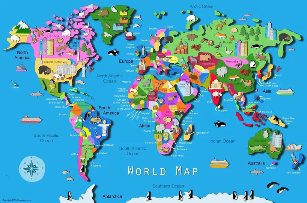
A World Map for Kids is a specially designed educational map that helps children explore the world in a simple, colorful, and engaging way. Unlike traditional maps filled with detailed geographic information, maps created for kids use bright colors, easy-to-read labels, illustrations, and age-appropriate content to make learning geography both fun and interactive.
Whether your child is in preschool, elementary school, or middle school, a world map can introduce them to the seven continents, five oceans, countries, capital cities, famous landmarks, and diverse cultures around the globe. It is one of the most effective visual learning tools for developing geographical awareness, critical thinking, and global understanding.
Parents, teachers, and homeschool educators often use world maps as part of daily lessons, educational games, and classroom activities. Children can color maps, label countries, identify flags, and even track places they have visited or want to explore in the future.
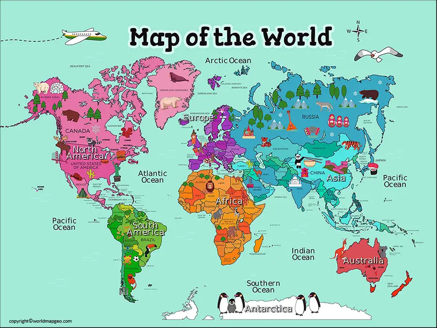
Check out other World Maps:- Blank World Map, World Map Physical, Political World Map, Printable World Map.
In this guide, you’ll learn everything about World Maps for Kids, including their benefits, different types, educational uses, and tips for choosing the best map for young learners.
Why Is a World Map Important for Kids?
A world map is much more than a picture of the Earth. It introduces children to the world beyond their local surroundings and encourages curiosity about different countries, cultures, languages, and environments.
Learning geography from an early age helps children:
- Understand where countries are located
- Recognize continents and oceans
- Learn about different cultures
- Improve memory and observation skills
- Develop spatial awareness
- Build confidence in geography
- Prepare for school exams and quizzes
- Gain a better understanding of world events
A colorful map displayed in a child’s bedroom or classroom can become a daily learning resource.
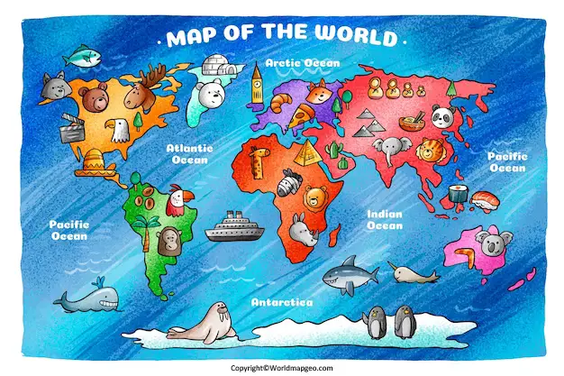
Benefits of Using a World Map for Kids
Using a kid-friendly world map offers many educational advantages.
Makes Learning Fun
Maps with colorful illustrations, animals, landmarks, and flags capture children’s attention and make geography enjoyable.
Improves Memory
Visual learning helps children remember countries, continents, and oceans more effectively than reading from textbooks alone.
Encourages Curiosity
Children naturally begin asking questions such as:
- Where is Australia?
- Which country has the Eiffel Tower?
- Where do penguins live?
- Which ocean is the largest?
These questions encourage exploration and lifelong learning.
Develops Map Reading Skills
Kids learn how to:
- Read maps
- Understand directions
- Recognize borders
- Identify symbols
- Interpret legends and labels
Supports Classroom Learning
Teachers often use maps to explain geography, history, science, and world cultures.
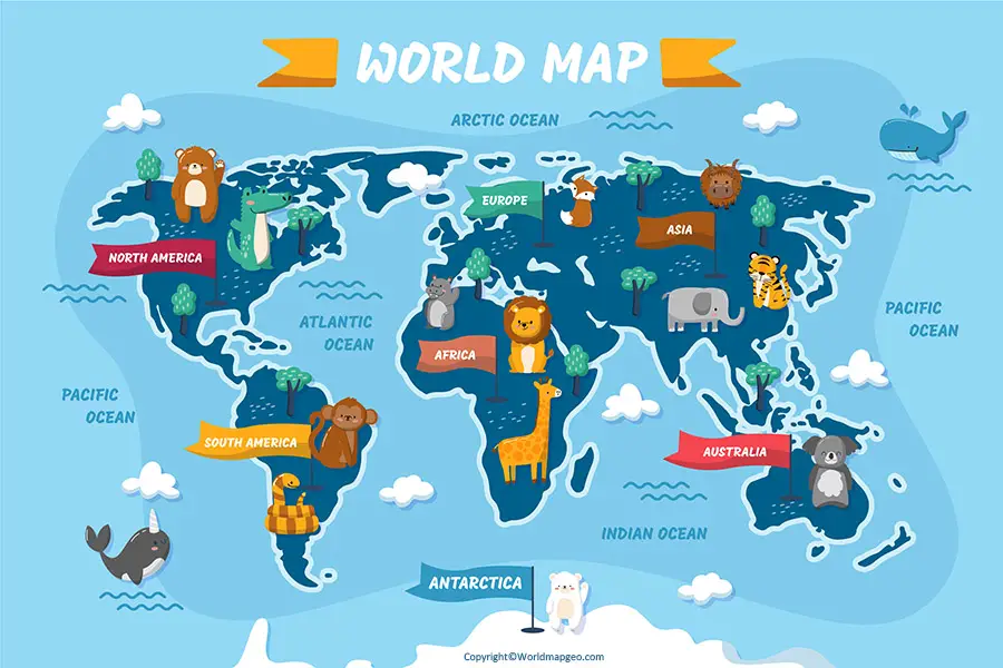
What Should a Good World Map for Kids Include?
A quality world map for children should be simple, colorful, and easy to understand.
Important features include:
- Bright colors
- Large country labels
- Clearly marked continents
- Five major oceans
- Country boundaries
- Capital cities (for older children)
- Famous landmarks
- National flags
- Wildlife illustrations
- Easy-to-read fonts
The map should avoid excessive details that may overwhelm younger learners.
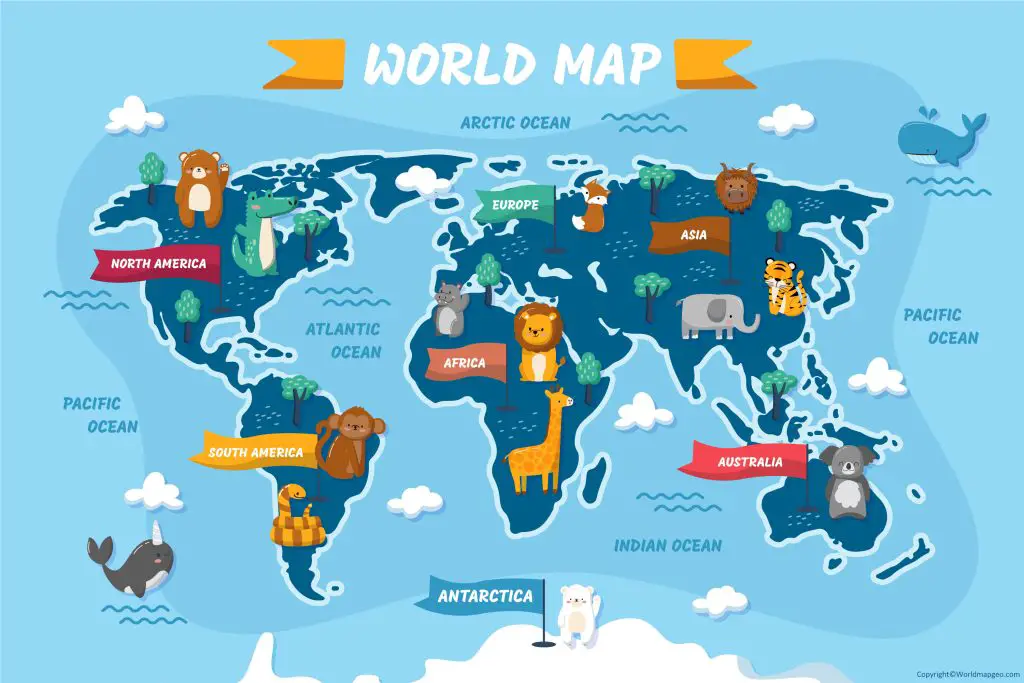
Types of World Maps for Kids
Different maps are suitable for different age groups and educational purposes.
1. Political World Map for Kids
A political map shows:
- Countries
- Borders
- Capitals
- Major cities
This map helps children learn country names and understand how the world is divided.
Best For:
- Elementary school
- Geography lessons
- Homework
- Classroom activities
2. Physical World Map for Kids
A physical map focuses on natural features such as:
- Mountains
- Rivers
- Oceans
- Lakes
- Deserts
- Forests
This type of map introduces children to Earth’s landscapes and ecosystems.
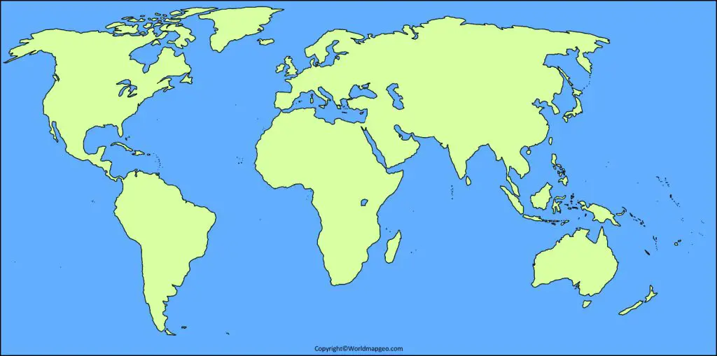
3. Blank World Map for Kids
Blank maps allow children to practice by:
- Labeling countries
- Marking capitals
- Coloring continents
- Identifying oceans
- Completing geography worksheets
These maps are widely used in schools for quizzes and assignments.
4. Outline World Map for Kids
Outline maps display only the shapes of continents and countries.
They are ideal for:
- Coloring
- Art projects
- Geography games
- Classroom exercises
5. Labeled World Map for Kids
A labeled map includes:
- Country names
- Continents
- Oceans
- Major islands
This is one of the easiest maps for beginners to understand.
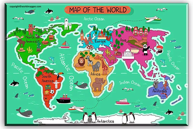
Learning the Seven Continents
One of the first geography lessons for children is learning the seven continents.
| Continent | Interesting Fact |
|---|---|
| Asia | Largest continent in the world |
| Africa | Home to the Sahara Desert and many wildlife species |
| Europe | Known for its rich history and famous landmarks |
| North America | Includes Canada, the United States, and Mexico |
| South America | Home to the Amazon Rainforest |
| Australia (Oceania) | Smallest continent by land area |
| Antarctica | Covered with ice and home to penguins |
Teachers often use songs, puzzles, and printable maps to help children memorize the continents.
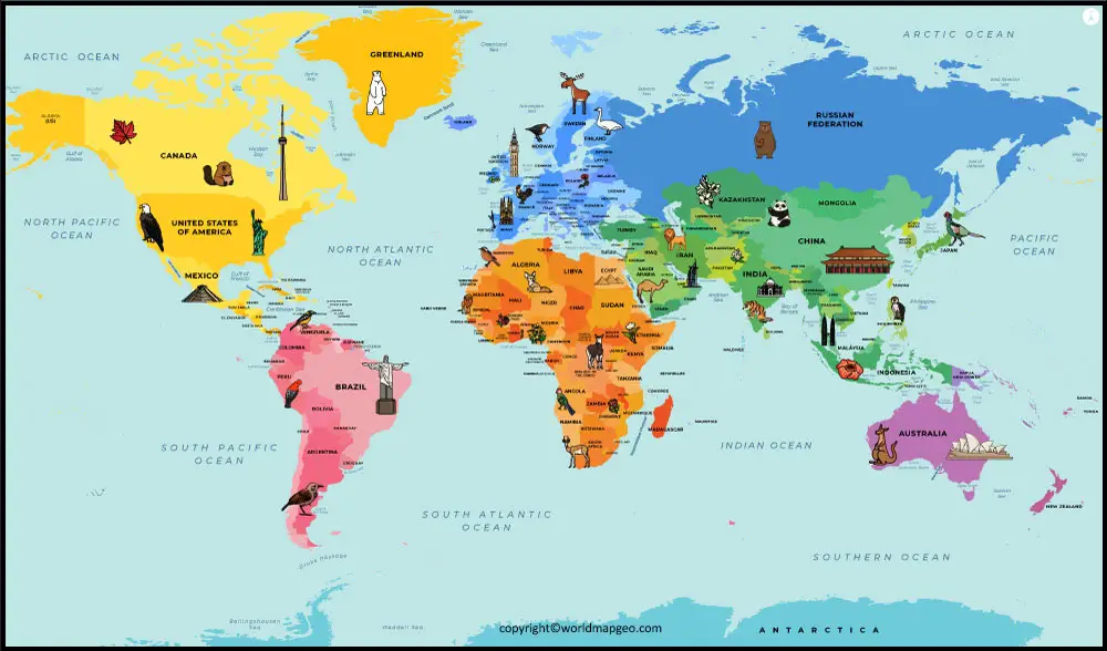
Learning the Five Oceans
Children also learn about the world’s five oceans.
| Ocean | Fun Fact |
|---|---|
| Pacific Ocean | Largest ocean on Earth |
| Atlantic Ocean | Separates Europe and Africa from the Americas |
| Indian Ocean | Warmest major ocean |
| Arctic Ocean | Smallest and shallowest ocean |
| Southern Ocean | Surrounds Antarctica |
Understanding the oceans helps children learn about marine life, climate, and global geography.
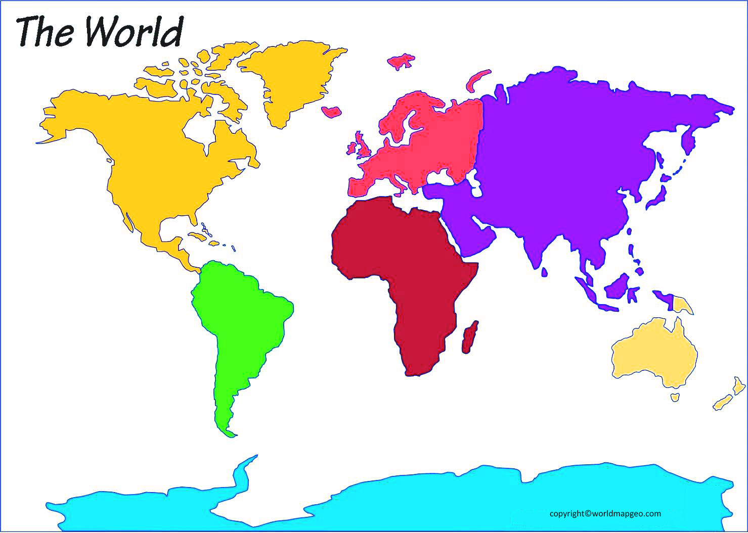
World Map Activities for Kids
Interactive activities make geography lessons more engaging.
Popular ideas include:
- Coloring each continent a different color
- Labeling countries and capitals
- Matching countries with their flags
- Finding famous landmarks
- Creating a travel bucket list
- Marking countries visited by family members
- Playing continent and country quizzes
- Identifying neighboring countries
- Learning about animals from different regions
These activities reinforce map-reading skills while keeping children entertained.
World Map for Homeschooling
Homeschool families often use printable world maps as part of daily lessons.
Activities can include:
- Country of the week
- Flag studies
- Capital city quizzes
- Cultural exploration
- Geography journaling
- Travel-themed projects
- History lessons linked to locations
- Nature and wildlife studies
Printable maps are easy to customize based on a child’s age and learning pace.
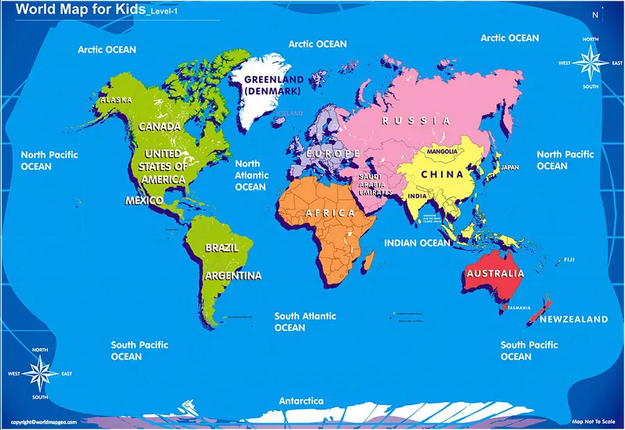
Tips for Choosing the Best World Map for Kids
When selecting a map, consider the child’s age and educational needs.
Ages 3–5
Choose maps with:
- Bright colors
- Animal illustrations
- Continents
- Oceans
- Simple labels
Ages 6–8
Look for maps featuring:
- Country names
- Capitals
- Flags
- Major landmarks
Ages 9–12
Choose more detailed maps that include:
- Physical features
- Latitude and longitude
- Time zones
- Population information
- World regions
Frequently Asked Questions
1. What is a world map for kids?
A world map for kids is a simplified educational map designed to help children learn about continents, countries, oceans, and geography in an engaging way.
2. At what age can children start learning with a world map?
Children can begin exploring basic world maps as early as 3 to 5 years old, with more detailed maps introduced as they grow.
3. Why are colorful maps better for children?
Bright colors and illustrations make maps more visually appealing, helping children stay interested and remember information more easily.
4. Can printable world maps be used in classrooms?
Yes. Printable world maps are widely used for lessons, quizzes, projects, and geography activities in schools.
5. What should a beginner learn first?
Most children start by learning the seven continents, five oceans, and the locations of major countries before moving on to capitals and physical geography.
Conclusion
A World Map for Kids is one of the best educational tools for introducing children to geography and the wider world. By combining colorful visuals, clear labels, and interactive activities, these maps make learning enjoyable while building essential skills such as map reading, spatial awareness, and cultural understanding.
Whether used at home, in the classroom, or during homeschooling, a well-designed world map helps children discover continents, countries, oceans, landmarks, and diverse cultures in a fun and memorable way. As they grow, these early geography lessons provide a strong foundation for history, science, travel, and global awareness, encouraging curiosity and a lifelong interest in exploring our world.