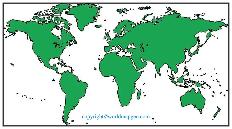
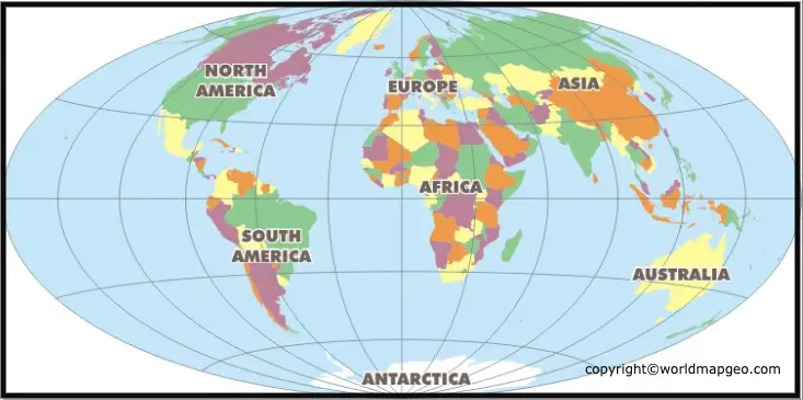
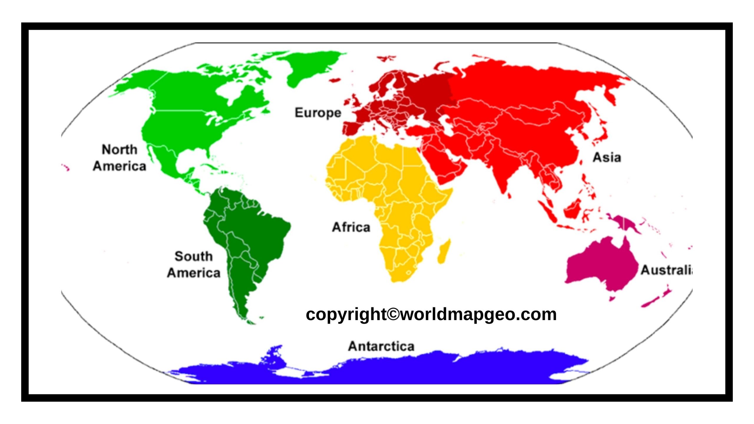
Political World Map: The Earth, the land, and the seas of Earth are depicted on the map. No, the map does not prove that the Earth is a sphere. The map below illustrates the worldwide landmass and oceans that cover the surface of our spherical globe from a two-dimensional (flat) perspective. This map depicts the continents, oceans, important countries, and a network of lines (graticules) that reflect the geographic coordinate system’s meridians and parallels.
Because it depicts the borders between sovereign states, it is also a political map. A sovereign state is a legal body represented by a government with sovereignty (self-determination) over a geographic territory under international law.
Political World Map
A political world map is a comprehensive representation of the Earth’s surface, depicting the various political boundaries and divisions between countries and territories. It provides a visual overview of the current state of geopolitical affairs, illustrating the borders, capitals, and major cities of each nation. These maps continually updated to reflect changes in political landscapes, such as the creation of new countries, border disputes, or territorial changes resulting from treaties and agreements.
The political world map is a powerful tool for diplomats, researchers, and anyone interested in international relations. It aids in understanding the complexity of global politics, trade relations, and cultural interactions. It also serves as a basis for decision-making in international affairs, helping countries establish diplomatic ties and engage in regional or global initiatives.
Geopolitical events, such as conflicts and alliances, can significantly impact the appearance of a political world map. For instance, the dissolution of the Soviet Union in 1991 led to the emergence of multiple independent states in Eurasia, substantially altering the political landscape. Consequently, political maps continue to evolve, reflecting the dynamic nature of international relations. Check out other World Maps:- Printable World Map, World Map Continents and Oceans, Physical World Map.
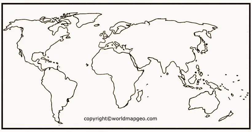
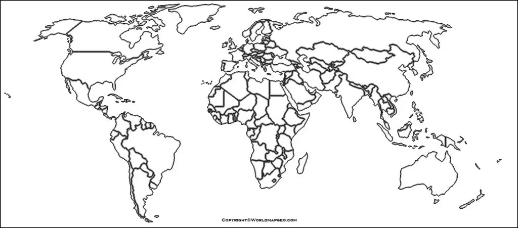
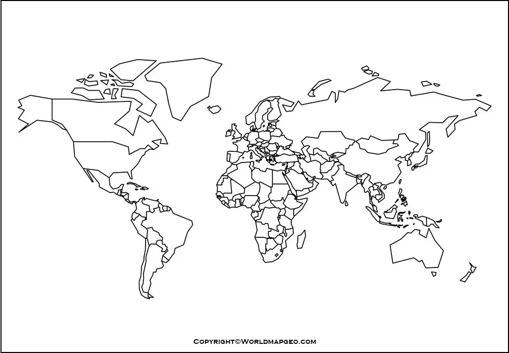
World Political Map Outline
A world political map outline is a simplified version of the complete political world map, highlighting the boundaries of countries without providing extensive detail or labeling. It serves as a basic framework for understanding global political divisions without the clutter of additional information. The primary purpose of such an outline map is to facilitate educational and academic activities where learners can practice identifying and labeling countries, capitals, and major geographic features.
Educators often utilize world political map outlines to engage students in activities that enhance their knowledge of geography, geopolitics, and international relations. These maps can used for quizzes, assignments, or as a basis for classroom discussions about different countries’ political systems and cultural characteristics.
World political map outlines also valuable for creative projects, such as designing posters, presentations, or infographics, as they provide a clean canvas for adding artistic elements or additional information as needed. They widely available in various formats, from digital versions for online use to printable templates for offline activities.
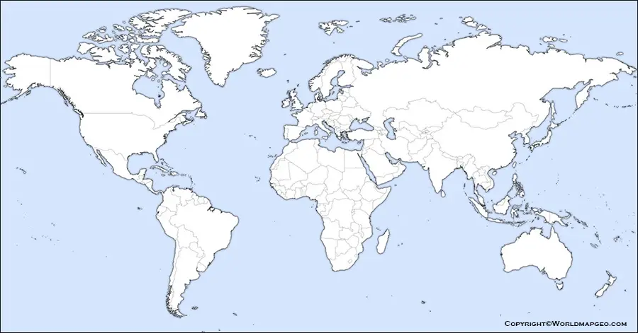
Blank World Political Map
A blank world political map is a completely empty rendition of the Earth’s political divisions, devoid of any markings, labels, or geographic features. Unlike an outline map, a blank political map does not include the outlines of countries or territories. It is essentially a clean slate, offering limitless possibilities for customization and personalization.
Blank political maps commonly used in educational settings to test students’ knowledge of global political geography. In classrooms, these maps distributed to learners who tasked with labeling countries, capitals, and other relevant information from memory. Such exercises help reinforce geographic knowledge and develop map-reading skills.
Beyond educational purposes, blank world political maps also favored by researchers, cartographers, and graphic designers. Cartographers use them as a foundation for creating custom-made maps for specific projects or thematic presentations. Graphic designers can incorporate these blank maps into multimedia presentations, websites, or publications, tailoring the map’s appearance to suit their aesthetic preferences.
World Map Political Black and White
A world map political black and white is a monochromatic representation of the Earth’s political divisions, where countries and territories depicted using only black lines or boundaries against a white background. This minimalist approach removes any distracting visual elements, allowing viewers to focus solely on the political features of the map.
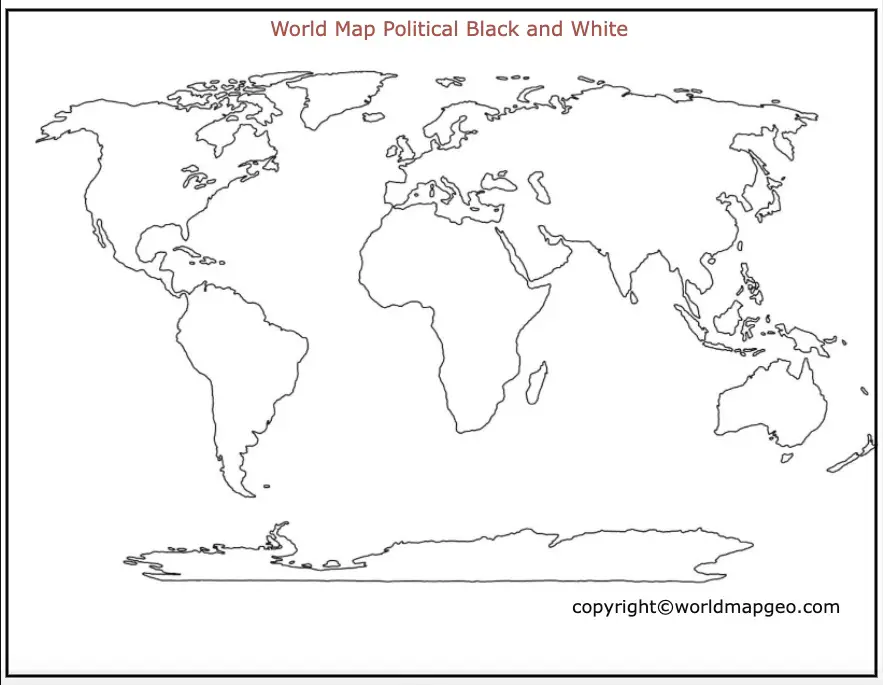
The black and white political map provides a clear and straightforward view of the world’s political landscape. It is especially useful for educational purposes and academic materials, as the lack of colors eliminates potential confusion and simplifies the map-reading process. Students can easily distinguish between countries and focus on understanding geopolitical relationships without being influenced by color-coded information.
Furthermore, the black and white format is printer-friendly, making it convenient for mass printing and distribution in classrooms, offices, or public spaces. It is also a cost-effective option for those who want to have physical copies of political maps without using color ink or expensive printing techniques.
The simplicity of black and white political maps extends their applicability to a variety of contexts, including academic presentations, research papers, and policy briefings. Additionally, they can used as base maps for thematic overlays, allowing researchers and analysts to add layers of data without compromising the map’s clarity.
Printable World Political Map
A printable world political map is a digital or physical map that can easily reproduced in high quality using standard printers or printing services. It is designed to fit standard paper sizes, such as letter or A4, allowing users to print and distribute copies conveniently. These maps widely available on various online platforms and can downloaded for free or purchased for commercial use.
Printable world political maps are commonly used in educational settings, where teachers and students need easy access to maps for lessons, assignments, or classroom activities. They are valuable resources for teaching geography, world politics, and cultural diversity. Additionally, printable maps are popular among travelers who want a handy reference during their journeys.
In the digital realm, printable world political maps come in various formats, such as PDF, JPEG, and PNG, providing flexibility for users to integrate them into presentations, websites, or e-books. Many map publishers also offer interactive digital versions that allow users to zoom in, pan, and explore the map in detail, providing an engaging and dynamic learning experience.
World Political Map Labeled
A world political map labeled is a comprehensive representation of the Earth’s political divisions, including country names, capital cities, and major geographic features. Unlike an outline map or a blank map, the labeled version provides extensive information, making it an essential tool for educational purposes, reference, and general knowledge.
The labeled political map serves as a valuable resource for students, educators, researchers, and policymakers. Students use it to study geography, learn about countries’ political systems, and understand the distribution of resources and population across the globe. Educators use these maps to create engaging lessons, quizzes, and interactive activities that reinforce learning and promote global awareness.
Researchers and policymakers refer to labeled world political maps when analyzing geopolitical trends, economic interdependencies, and international relations. They rely on such maps to visualize the spatial distribution of political power, trade networks, and alliances, enabling them to make informed decisions and strategic plans.
Labeled political maps can also found in public spaces, such as government offices, embassies, and cultural institutions, to provide visitors with a clear understanding of the world’s political landscape. Additionally, media outlets use labeled maps in news reports to illustrate geopolitical events and conflicts to their audiences.
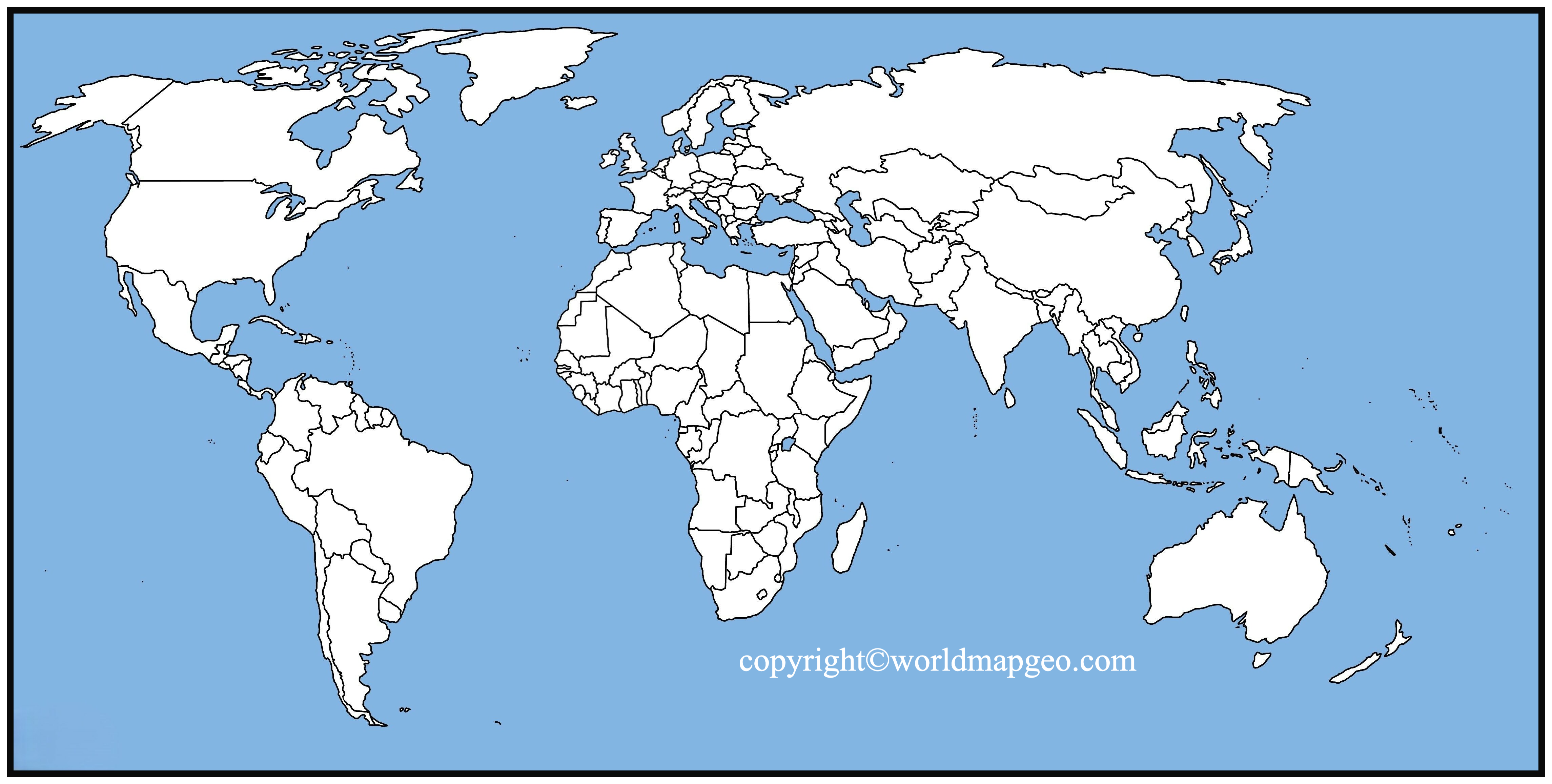
Political Map of World with countries
A political map of the world with countries is a detailed representation of the Earth’s surface, clearly depicting national boundaries and territories. Each country is labeled and often accompanied by the names of its capital city and major cities. This type of map provides a wealth of information about the political organization of the world, showing how countries are distributed across continents and regions.
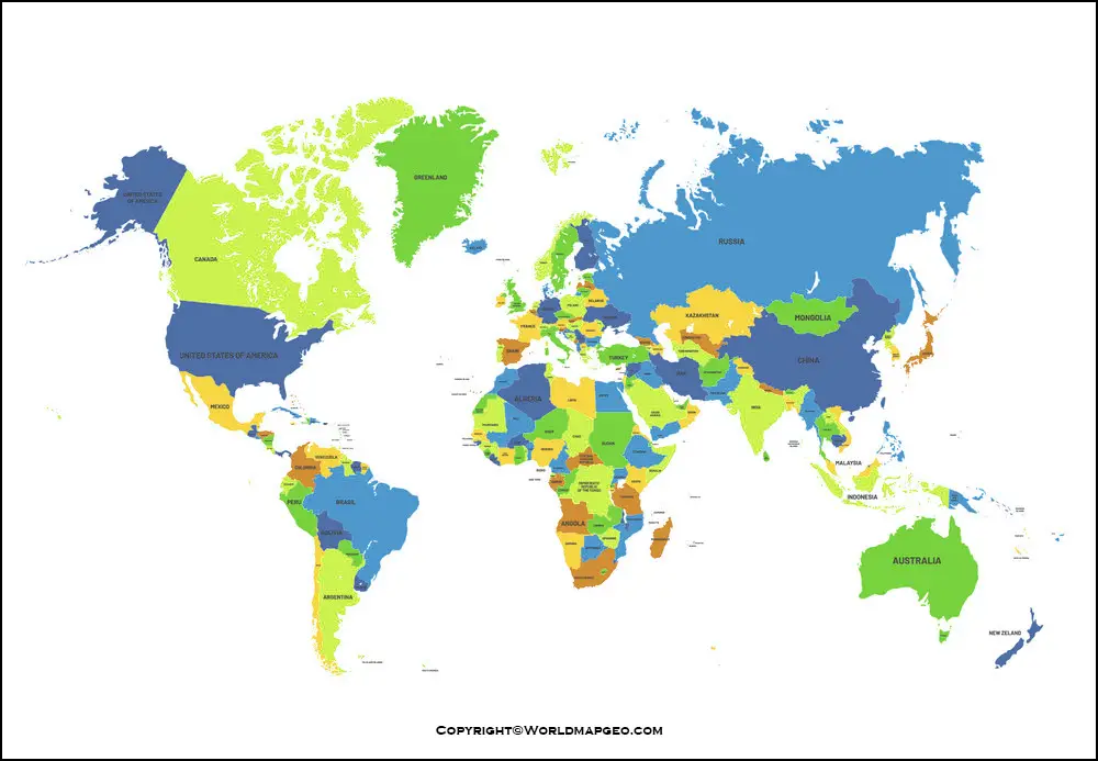
The political map with countries is indispensable for a variety of purposes. Diplomats and government officials use it to analyze international relations, identify potential partners or adversaries, and navigate complex geopolitical landscapes. Businesses rely on these maps to strategize global operations, identify market opportunities, and assess risks associated with different countries.
In educational settings, this map plays a crucial role in teaching geography, history, and social studies. It helps students develop a sense of place and understand how political borders have evolved over time due to historical events, colonization, and decolonization processes.
Cartographers and geographers continually update political maps with countries to reflect geopolitical changes, such as new nation-states or territorial disputes. These maps are available in various formats, from physical wall maps to interactive digital versions, catering to the diverse needs of users worldwide.
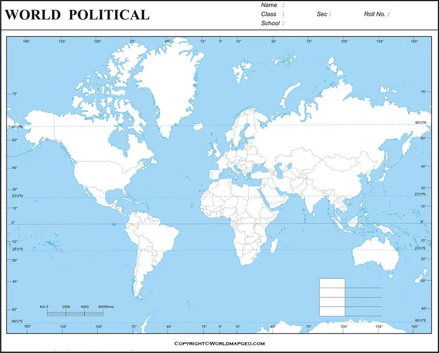
World Political Map with Latitude and Longitude
A world political map with latitude and longitude is a comprehensive representation of the Earth’s political divisions, complemented by a grid of lines representing the planet’s geographical coordinates. Latitude lines run east-west, measuring the distance north or south of the equator, while longitude lines run north-south, measuring the distance east or west from the Prime Meridian.
The addition of latitude and longitude to a political map enhances its utility by enabling precise location referencing. It helps users determine the exact geographical coordinates of any point on the map, facilitating navigation, surveying, and geospatial analysis.
For sailors, pilots, and explorers, world political maps with latitude and longitude vital for charting courses and plotting positions during their journeys. These maps serve as essential tools for navigation and emergency response in remote or unfamiliar regions.
Geographers and researchers use political maps with latitude and longitude to conduct spatial analyses, compare regional data, and investigate patterns of human settlement and economic activities. It enables them to correlate political borders with geographic factors, such as climate, topography, and natural resources.
In educational contexts, these maps employed to teach students about the Earth’s grid system, coordinate systems, and the concept of global coordinates. Understanding latitude and longitude is fundamental to reading and interpreting maps, and it lays the groundwork for more advanced geographic skills in the future.