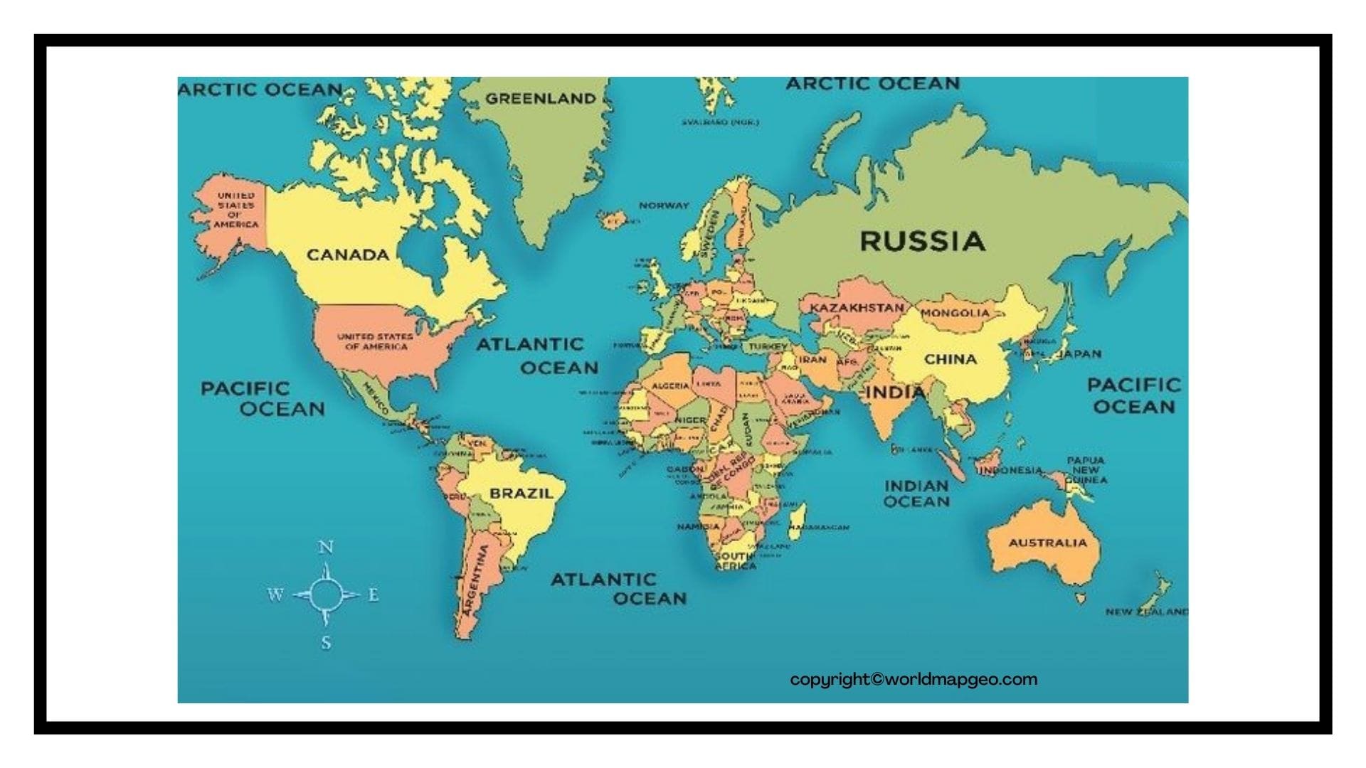
The site has a Printable World Map that you may examine, save, download, and print. World maps are used in geography classes to outline various globe sections. To comprehend world geography, students must understand the physical locations of countries, states, districts, and other entities depicted on maps. Maps are also helpful for learning and comprehending continent and country geography. Moreover, Students should understand the value of maps and why they are utilized for specific purposes.
Blank Map Outline is available on the web for all students and teachers worldwide. Teachers will find that the Printable Map of the World is an excellent resource for various teaching students, and the best part is that they may download and print as many copies of the maps as they desire. Additionally, the printable map options have considerable size, making them ideal for printing.
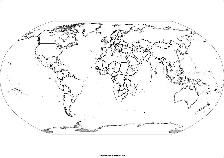
Printable World Map PDF
A printable world map in PDF format offers a convenient and versatile way to access geographical information about our planet. With a PDF, you can easily view, zoom in, and print the map in high resolution, ensuring clarity and detail. Whether you’re a student studying geography, a traveler planning your adventures, or a teacher preparing a lesson, a printable world map in PDF comes in handy.
One of the significant advantages of using a PDF format is that it preserves the map’s quality and layout across different devices and platforms. You can access it on your computer, tablet, or smartphone without worrying about the map’s resolution being compromised. Moreover, some PDF world maps also include additional features like country names, capitals, major cities, time zones, and even geographical features like mountain ranges and rivers. Check out other World Maps:- World Map Continents and Oceans, World Map Physical.
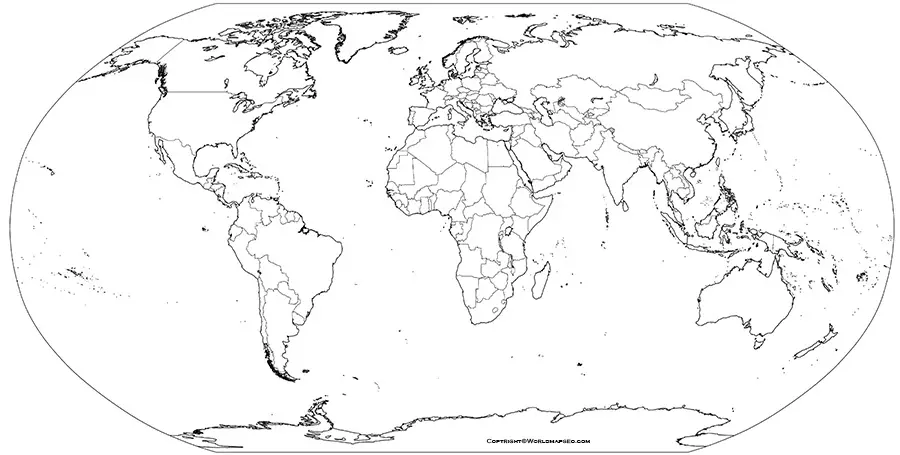
To find a printable world map in PDF, you can search online on various educational websites, geographical databases, or even online map services. Some websites might offer world maps in both color and grayscale, allowing you to choose the style that best suits your needs. Whether you need a map for educational purposes or decorative wall art, a printable world map in PDF format is an excellent resource for exploring and understanding the diverse geography of our planet.
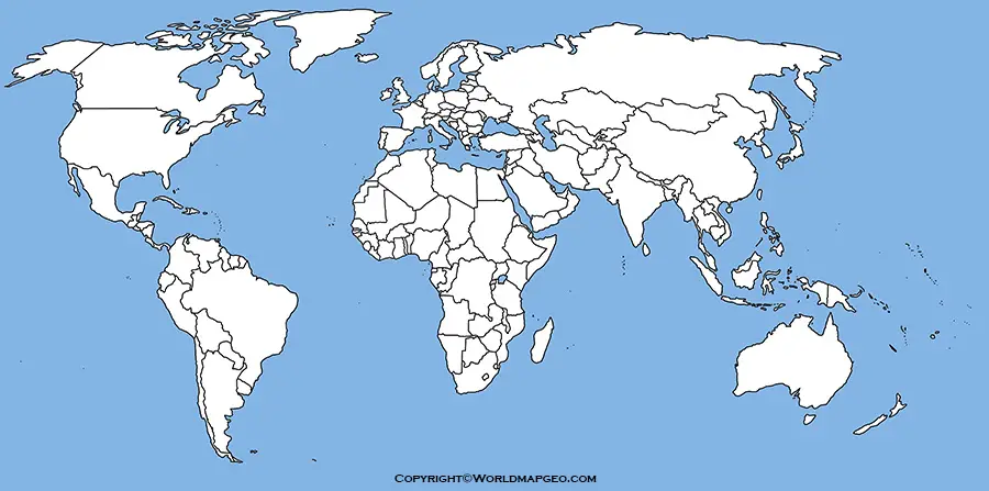
Blank World Map Printable
A blank world map printable is a versatile tool that serves numerous purposes across different fields. From educational activities and geography lessons to business presentations and travel planning, a blank world map provides a customizable canvas for various uses. Whether you want to mark the locations of countries and continents, plot the route of historical explorers, or highlight different climatic zones, a blank world map allows you to do so with ease.
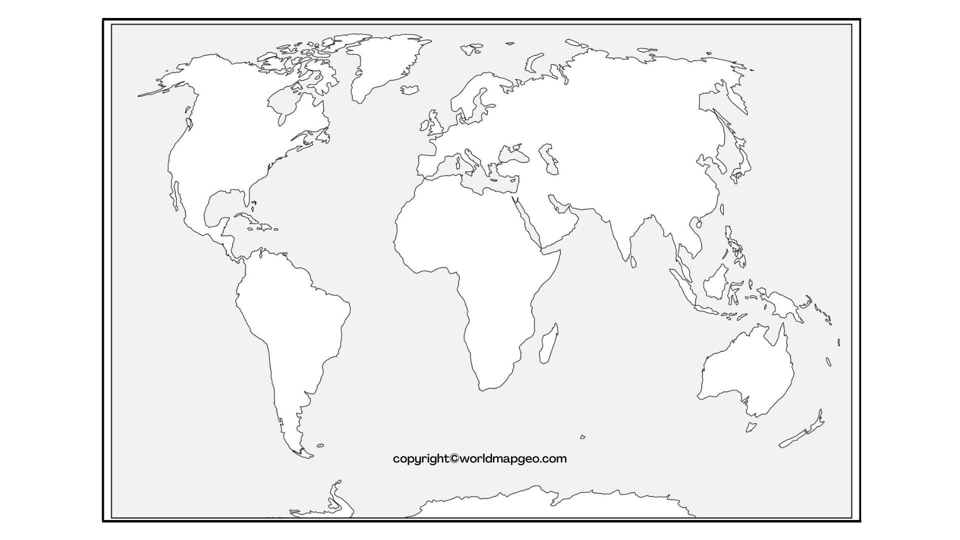
Students often benefit from using a blank world map printable during their geography studies. They can label continents, oceans, and countries, enhancing their knowledge of global geography. Teachers find these maps invaluable for quizzes and interactive exercises, encouraging students to identify and locate different regions independently.
For travelers and adventurers, a blank world map is a great tool to plan journeys, mark visited destinations, or create a visual travelogue. By customizing the map with personal notes and marks, travelers can keep track of their explorations and share their experiences with others.
Blank world maps are readily available for download from various online sources, including educational websites and map repositories. They come in different sizes and formats, allowing users to choose the one that best fits their needs. Whether for educational purposes or personal projects, a blank world map printable sparks creativity and geographical curiosity.
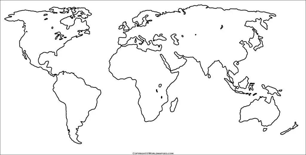
World Map Black and White Printable
A black and white printable world map offers a classic and minimalist option for exploring global geography. Stripped of distracting colors, these maps focus on the fundamental outlines of continents, countries, and oceans. They are not only visually appealing but also practical for a variety of purposes.
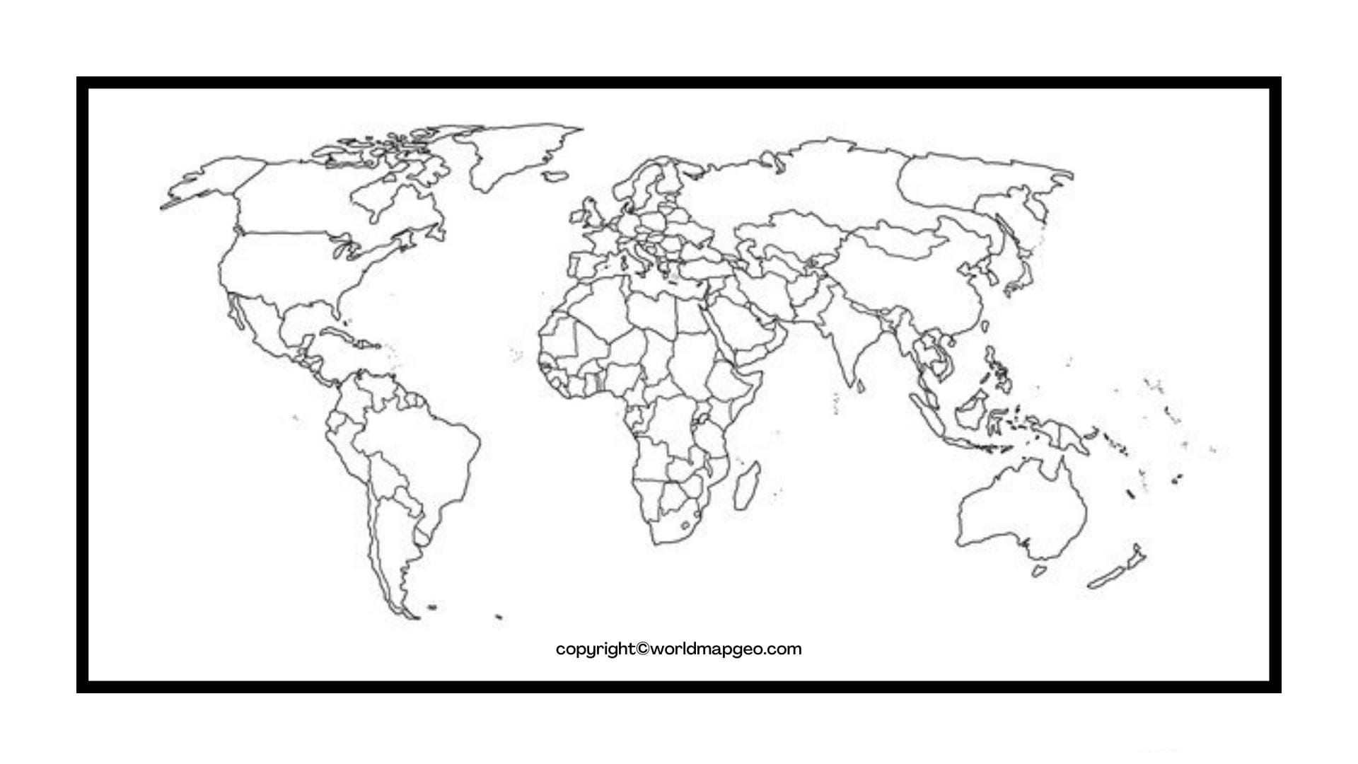
Black and white printable world maps are often preferred in academic and professional settings. Teachers and professors use them for worksheets, quizzes, and exams, as they allow students to concentrate on the spatial relationships between geographical elements without the interference of colors. Moreover, these maps can be easily photocopied, making them cost-effective for classroom use.
Businesses and researchers also find black and white world maps useful for presentations and publications. The simplicity of the map design ensures that the audience’s attention remains on the data and information being presented. Furthermore, these maps are compatible with grayscale printing, making them suitable for various publishing requirements.
In addition to academic and professional applications, black and white printable world maps have an aesthetic appeal, often sought after for interior decor. Framed black and white maps can add a touch of elegance to homes, offices, or study spaces, blending seamlessly with various interior design themes.
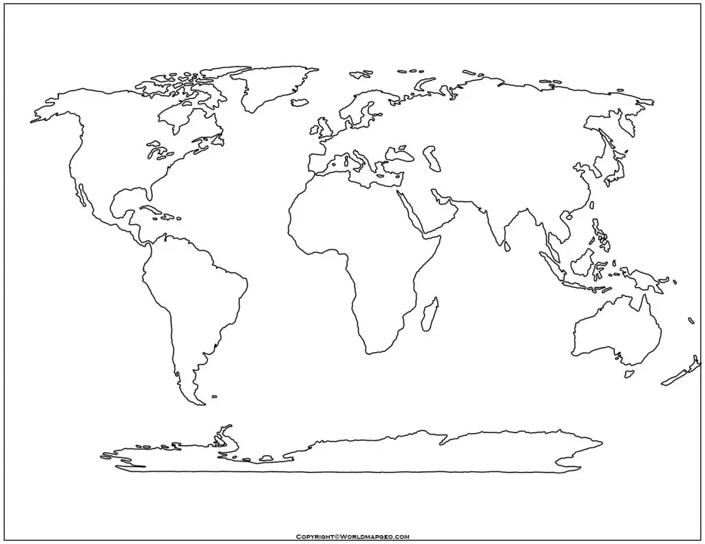
Printable World Outline Map
A printable world outline map provides a simplified and clear representation of global geography. Unlike detailed maps that display various geographical features, an outline map focuses solely on the contours of continents and countries, making it an ideal tool for a wide range of activities.
Teachers and educators frequently use printable world outline maps for educational purposes. By labeling and coloring different countries, students can learn about the political divisions of the world, the locations of major cities, and the diversity of landscapes across continents. The simplicity of the outline map allows students to grasp global geography with ease.
Furthermore, printable world outline maps are often utilized for map-based quizzes and exercises. Students can be tasked with identifying and labeling countries, capital cities, or even significant landmarks using these maps. Such activities promote interactive learning and help students develop a better understanding of world geography.
Beyond classrooms, printable world outline maps also serve practical functions. Travelers can use them to mark their intended routes, plan itineraries, or create visual representations of their journeys. Researchers and analysts may use these maps for demographic studies, global statistics, or geopolitical analyses.
With the widespread availability of outline maps on the internet, accessing a printable world outline map is just a few clicks away. The diverse applications of these maps make them an indispensable resource for anyone interested in exploring and understanding the world.
World Map Printable with Longitude and Latitude lines
A world map printable with longitude and latitude lines is an essential tool for understanding global coordinates and locations. Longitude and latitude lines form a grid system that enables precise positioning of any point on Earth’s surface. These maps are invaluable for navigational purposes, geographic analysis, and educational exploration.
Navigators and sailors have relied on longitude and latitude lines for centuries to determine their positions at sea. A printable world map with these lines allows modern travelers to plan routes, estimate distances. And comprehend the spatial relationships between different locations. It facilitates efficient navigation across vast distances and is a crucial aid for both professional mariners and recreational sailors.
Geographers and researchers also find world maps with longitude and latitude lines indispensable for their studies. By using the coordinates, they can pinpoint specific locations for fieldwork, analyze spatial distributions, and conduct precise measurements. It serves as a foundational tool for various disciplines, including cartography, environmental science, and urban planning.
For students learning about global coordinates and the Earth’s grid system, a world map with longitude and latitude lines offers a practical visual aid. It helps them grasp concepts like equator, prime meridian, hemispheres, and time zones. Educational activities, such as plotting famous landmarks or calculating distances between cities, become engaging and informative with the help of these maps.