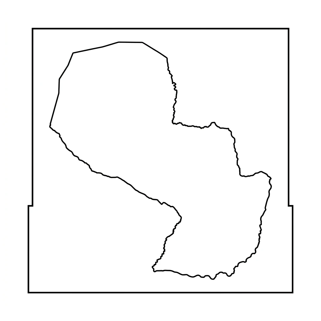
Blank Map of Paraguay – Paraguay Map Outline is a simple and useful resource for students, teachers, and geography learners. This Paraguay blank map helps in understanding the Paraguay map outline, Paraguay states map, and Paraguay political map without labels. You can use this Paraguay outline map for school projects, map labeling, and classroom activities. The Paraguay printable map is perfect for practice, exams, and learning state boundaries. Many students prefer a blank map of Paraguay to improve their geography skills and remember locations easily. This Paraguay map outline also works well as Paraguay geography map and educational map for better learning and revision.
Printable Blank Map of Paraguay – Outline Map
Paraguay Population Map – Paraguay Population of Men, Women, Children
| Department & Capital District | Population | Men Population | Women Population | Children (0-14) | % of Total Population |
|---|---|---|---|---|---|
| Alto Paraguay | 20,000 | 11,000 | 9,000 | 7,000 | 0.3 |
| Alto Paraná | 890,000 | 452,000 | 438,000 | 240,000 | 12.2 |
| Amambay | 185,000 | 95,000 | 90,000 | 54,000 | 2.5 |
| Asunción | 520,000 | 245,000 | 275,000 | 109,000 | 7.1 |
| Boquerón | 75,000 | 40,000 | 35,000 | 27,000 | 1 |
| Caaguazú | 580,000 | 299,000 | 281,000 | 168,000 | 7.9 |
| Caazapá | 205,000 | 108,000 | 97,000 | 66,000 | 2.8 |
| Canindeyú | 255,000 | 134,000 | 121,000 | 84,000 | 3.5 |
| Central | 2,350,000 | 1,152,000 | 1,198,000 | 564,000 | 32.2 |
| Concepción | 265,000 | 136,000 | 129,000 | 80,000 | 3.6 |
| Cordillera | 330,000 | 168,000 | 162,000 | 89,000 | 4.5 |
| Guairá | 230,000 | 118,000 | 112,000 | 62,000 | 3.2 |
| Itapúa | 620,000 | 318,000 | 302,000 | 174,000 | 8.5 |
| Misiones | 135,000 | 69,000 | 66,000 | 38,000 | 1.8 |
| Paraguarí | 270,000 | 140,000 | 130,000 | 70,000 | 3.7 |
| Presidente Hayes | 135,000 | 72,000 | 63,000 | 47,000 | 1.8 |
| San Pedro | 445,000 | 230,000 | 215,000 | 142,000 | 6.1 |
| Ñeembucú | 95,000 | 49,000 | 46,000 | 23,000 | 1.3 |
| TOTAL | 7,305,000 | 3,686,000 | 3,619,000 | 2,044,000 | 100 |
Geographical Paraguay Map – Paraguay Area Ranking In World
Paraguay ranks 59th in the world, area wise.
| Department & Capital District | Capital | Area (sq km) | % of Total Area |
|---|---|---|---|
| Alto Paraguay | Fuerte Olimpo | 82,349 | 20.24 |
| Alto Paraná | Ciudad del Este | 14,895 | 3.66 |
| Amambay | Pedro Juan Caballero | 12,933 | 3.18 |
| Asunción | Asunción | 117 | 0.03 |
| Boquerón | Filadelfia | 91,669 | 22.53 |
| Caaguazú | Coronel Oviedo | 11,474 | 2.82 |
| Caazapá | Caazapá | 9,496 | 2.33 |
| Canindeyú | Salto del Guairá | 14,667 | 3.6 |
| Central | Areguá | 2,465 | 0.61 |
| Concepción | Concepción | 18,051 | 4.44 |
| Cordillera | Caacupé | 4,948 | 1.22 |
| Guairá | Villarrica | 3,846 | 0.95 |
| Itapúa | Encarnación | 16,525 | 4.06 |
| Misiones | San Juan Bautista | 9,556 | 2.35 |
| Paraguarí | Paraguarí | 8,705 | 2.14 |
| Presidente Hayes | Villa Hayes | 72,907 | 17.92 |
| San Pedro | San Pedro de Ycuamandiyú | 20,002 | 4.92 |
| Ñeembucú | Pilar | 12,147 | 2.99 |
| TOTAL | 406,752 | 100 |
The printable map of Paraguay is a simple yet powerful learning resource for understanding Paraguay in a clear way. This Paraguay map outline helps learners explore Paraguay Department & Capital District, borders, and regions without any confusion. Using a blank map of Paraguay regularly can improve map labeling skills and build strong knowledge of the Paraguay political map and Paraguay geography map.
The Paraguay printable map is also widely used in classrooms, assignments, and exams for better practice. Whether you are studying Paraguay for academic purposes or general knowledge, this Paraguay outline map makes learning easy and effective. Overall, the outline map of Paraguay is a practical tool to study and remember Paraguay again and again.