Blank Map of Mauritius – Mauritius Map Outline is a simple and useful resource for students, teachers, and geography learners. This Mauritius blank map helps in understanding the Mauritius map outline, Mauritius states map, and Mauritius political map without labels. You can use this Mauritius outline map for school projects, map labeling, and classroom activities. The Mauritius printable map is perfect for practice, exams, and learning state boundaries. Many students prefer a blank map of Mauritius to improve their geography skills and remember locations easily. This Mauritius map outline also works well as Mauritius geography map and educational map for better learning and revision.
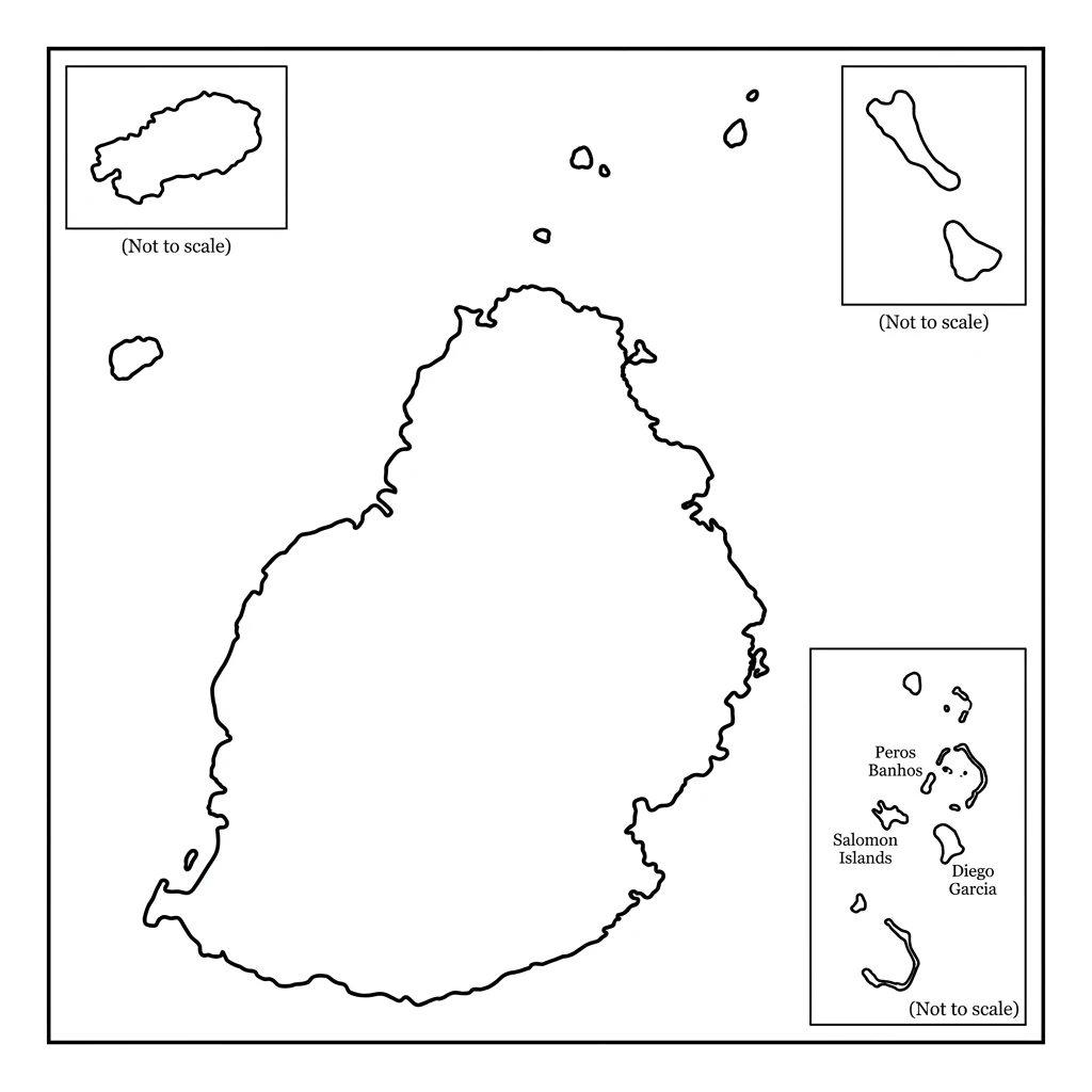
Printable Blank Map of Mauritius – Outline Map
Mauritius Population Map – Mauritius Population of Men, Women, Children
| District & Dependency | Population | Men Population | Women Population | Children (0-14) | % of Total Population |
|---|---|---|---|---|---|
| Agaléga | 300 | 147 | 153 | 48 | 0.02 |
| Black River | 85,000 | 41,650 | 43,350 | 13,600 | 6.69 |
| Cargados Carajos | 63 | 63 | 0 | 0 | 0.005 |
| Flacq | 140,000 | 68,600 | 71,400 | 22,400 | 11.02 |
| Grand Port | 114,000 | 55,860 | 58,140 | 18,240 | 8.98 |
| Moka | 95,000 | 46,550 | 48,450 | 15,200 | 7.48 |
| Pamplemousses | 145,000 | 71,050 | 73,950 | 23,200 | 11.42 |
| Plaines Wilhems | 366,000 | 179,340 | 186,660 | 58,560 | 28.82 |
| Port Louis | 119,000 | 58,310 | 60,690 | 19,040 | 9.38 |
| Rivière du Rempart | 108,000 | 52,920 | 55,080 | 17,280 | 8.5 |
| Rodrigues | 44,000 | 21,560 | 22,440 | 7,040 | 3.46 |
| Savanne | 68,000 | 33,320 | 34,680 | 10,880 | 5.35 |
| TOTAL | 1,270,000 | 622,300 | 647,700 | 203,200 | 100 |
Geographical Mauritius Map – Mauritius Area Ranking In World
Mauritius ranks 170th in the world, area wise.
| District & Dependency | Capital | Area (sq km) | % of Total Area |
|---|---|---|---|
| Agaléga | Vingt Cinq | 26 | 1.28 |
| Black River | Bambous | 259 | 12.72 |
| Cargados Carajos | Île du Sud | 1.30 | 0.06 |
| Flacq | Centre de Flacq | 298 | 14.63 |
| Grand Port | Rose Belle | 260 | 12.77 |
| Moka | Quartier Militaire | 231 | 11.34 |
| Pamplemousses | Triolet | 179 | 8.79 |
| Plaines Wilhems | Rose Hill | 203 | 9.97 |
| Port Louis | Port Louis | 47 | 2.31 |
| Rivière du Rempart | Mapou | 148 | 7.27 |
| Rodrigues | Port Mathurin | 108 | 5.3 |
| Savanne | Souillac | 245 | 12.03 |
| TOTAL | 2,040 | 100 |
The printable map of Mauritius is a simple yet powerful learning resource for understanding Mauritius in a clear way. This Mauritius map outline helps learners explore Mauritius District & Dependency, borders, and regions without any confusion. Using a blank map of Mauritius regularly can improve map labeling skills and build strong knowledge of the Mauritius political map and Mauritius geography map.
The Mauritius printable map is also widely used in classrooms, assignments, and exams for better practice. Whether you are studying Mauritius for academic purposes or general knowledge, this Mauritius outline map makes learning easy and effective. Overall, the outline map of Mauritius is a practical tool to study and remember Mauritius again and again.